The clocks went back overnight and we had an extra hour this morning.
We woke up just after 7am which is the new 8am so we’re still waking up at our usual time. We got up slowly and had breakfast, watching all the Halloween revellers start to head home. We’ll be Billy No Mates tonight.
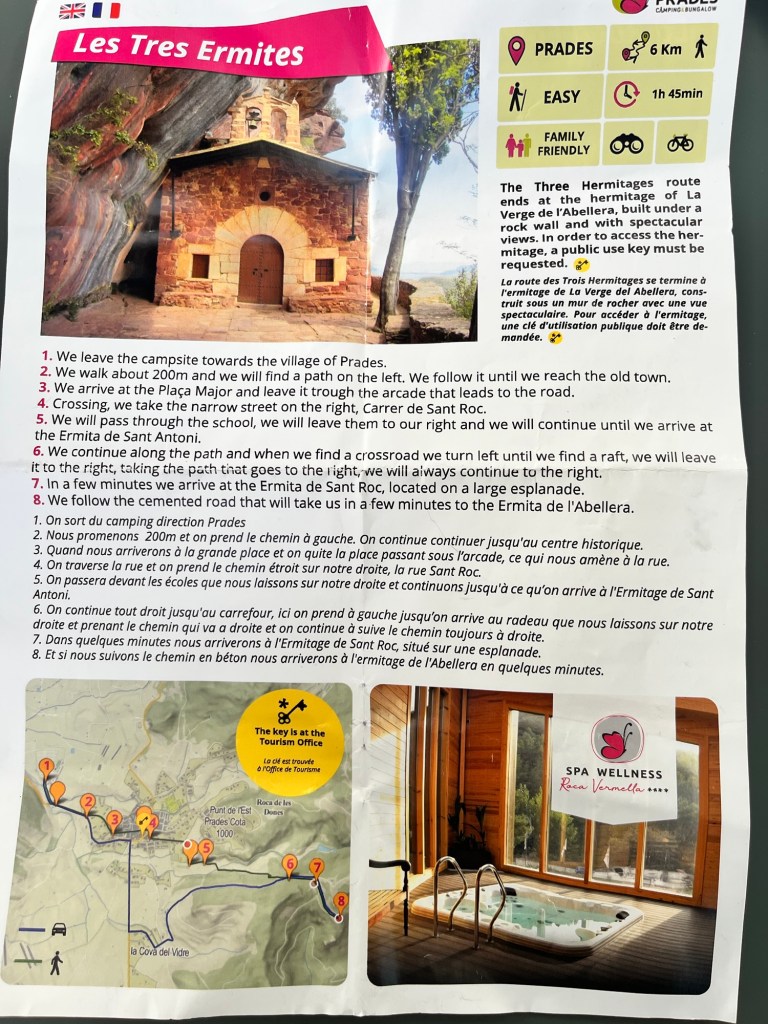
We decided to follow a walk that the reception gave us yesterday – only about 6 kilometres all told, but it would be nice to stretch our legs and with the sun shining brightly, it should be a lovely little stroll. We took a flask of tea and some nibbles in case we fancied a picnic, deciding to follow the The Three Hermitages route to La Verge de l’Abellera.
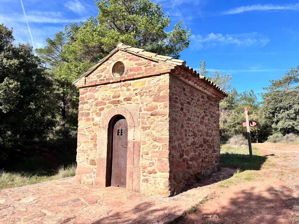
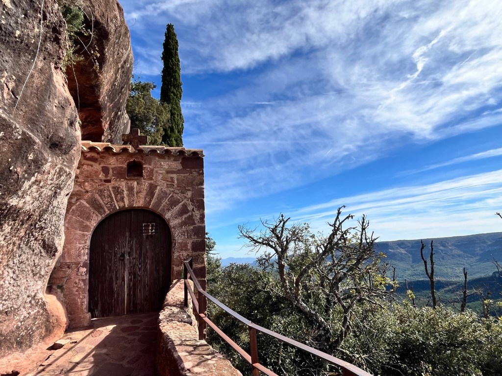
One of the little chapels along the way to the Three Hermitages
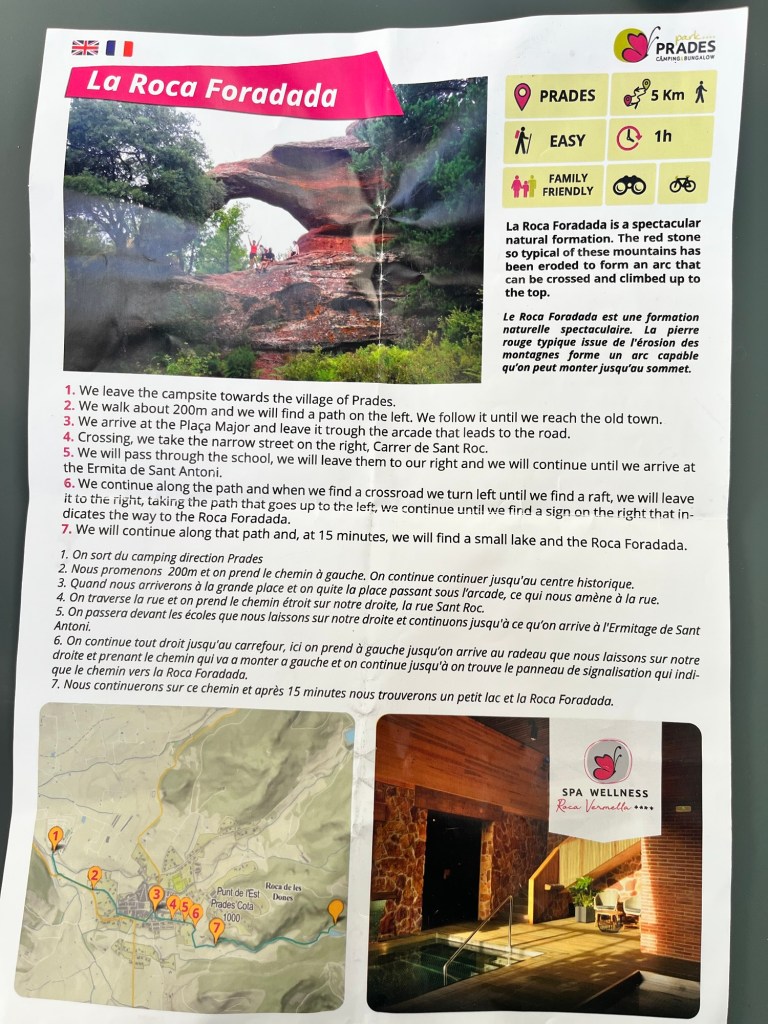
We walked out of the campsite and into town on a little back road and followed the instructions on the leaflet. It was in English and French, with the English not quite translating as well as it should (can’t vouch for the French). At one point, we were looking for a “raft”, but luckily the route had signposts as well so we only had a couple of headscratching sessions.
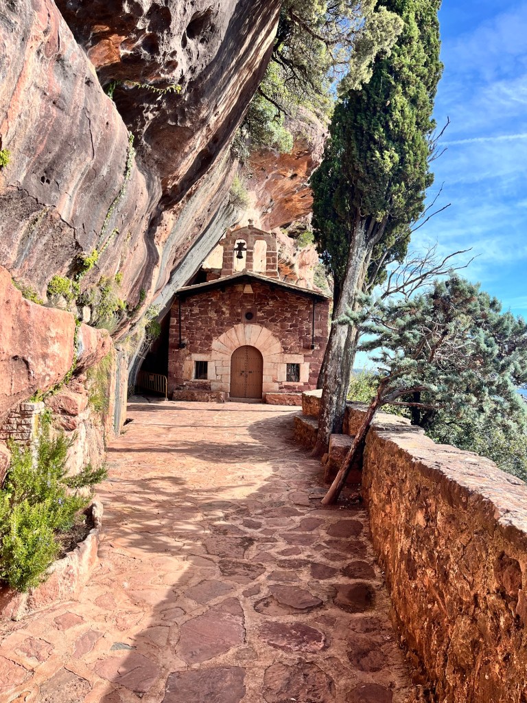
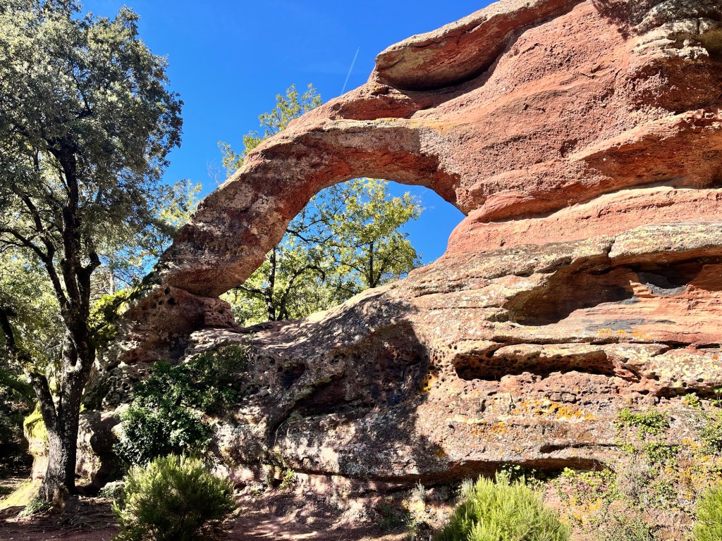
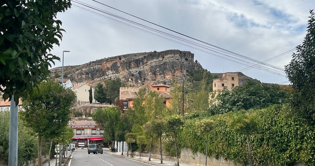
Finally we came to La Verge de l’Abellera, hidden behind a wooden door. The small church/chapel was built on the edge of a sheer drop and under overhanging cliffs with fantastic views across the valley and wooded hillsides. We read the information boards and sat down for a quick sip of tea and a biscuit. We then decided to go and find the La Roca Foradada, an arc of rock formed out of the red rock of the area which was on the flip side of sheet. We could have walked back to town and followed the directions on the sheet, but realised that if we walked up the valley a bit we could do a loop and drop down on to it. So we walked through the trees and woods like we had been doing all morning, following a gravelly path which suddenly dropped down into the bottom of the valley and then voila, there was La Roca Foradada. It was quite impressive – apparently you can climb up and stand in the middle, but we weren’t inclined. The Pup smelt water, but the little tarn nearby was a weird green colour and fenced off, so Pup was denied a paddle.
We strolled back into town and decided to have a coffee/beer. The town was again busy with people wandering around which was great. Our little cafe of yesterday was full, so we sat in the cafe next door. It was a bit off putting as the tables hadn’t been cleared, but we sat down at a table, pushing the debris to one side. We waited for someone to come out and take our order and possibly clear the table, but nobody did (the one person on duty only seemed to drop off drinks) so eventually I went inside and got them myself. The two staff seemed a bit nonplussed about serving and taking my money – it was all a bit odd. So we sat in the warm sunshine and drank our drinks, watched other customers come in and move dirty cups to other tables, not blinking an eyelid and sitting down. Perhaps this was this particular cafes style.
We sauntered back to the campsite via a little shop to pick up a baguette and once back, booked a table at the campsite’s restaurant for tonight. We had a bit of lunch outside though it was very breezy (the mat flew up and knocked Pup’s waterbowl and dust all over us) and there were some pesky flies. So we had a lazy afternoon until it got cooler and the sun set an hour earlier (the downside of the clocks moving back). We had this corner of the campsite to ourselves now as everyone had gone back home after the weekend including the wailing ghoul family. We had booked the restaurant for 8pm as we didn’t want to be the first in when it opened at 7:30 – so we wandered down at 7:50 and found ourselves still the first ones in and wondered why the reception told us we had to book. We told ourselves that maybe everybody would start coming in around 8pm and yes they did – all four of them. To make it worse, we ended up in an area overlooking the reception all on our own, presumably because we had Pup with us. So we ate alone – the meal was very nice and we had wine too, but it wasn’t what we were expecting – the restaurant had been packed yesterday when we arrived, but now everyone was gone. Maybe a blessing – it would have been full of excitable kids and would have been mayhem.
So we waddled back to the Van and settled down. Tomorrow we’re heading to the coast for a change of scenery and hopefully a beach so Pup can have a jolly good run which she hasn’t had for ages. She certainly deserves one!
A slow sort of morning – we’re not planning to go far today, so we can take it easy.
We drove up to Prades, about 30 minutes up the road (the satnav was wittering on about having park up and walk in over an unmade road – an obvious glitch in the matrix). It was another cool morning, but the sun was trying to shine through.
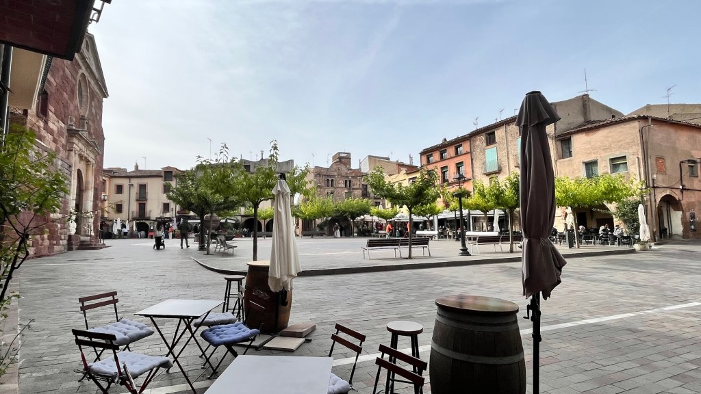
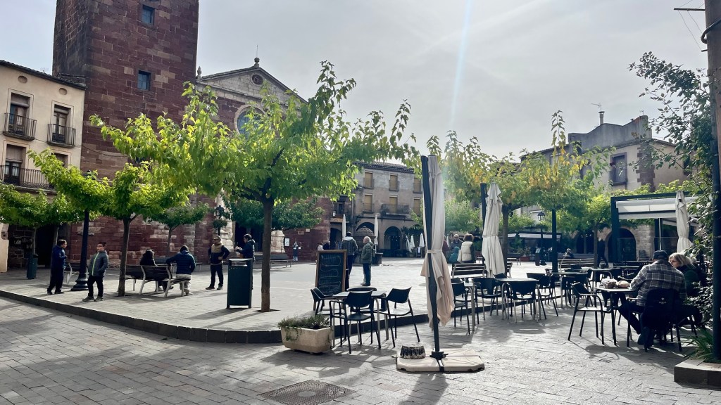
It was another nice ride through pretty countryside and we soon arriving in Prades, which looked very interesting – we parked just out of town, after limbo-ing under a height barrier and paying for a parking ticket. We walked down the main street and then turned down a little side street only to pop out into a fabulous little square.
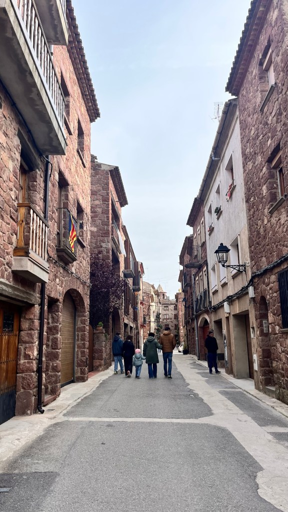
It was full of people milling around and there was a great atmosphere- finally a little town that was buzzing and had a vibe. Lining the edge of the square, were numerous cafes, filled with people drinking coffee with friends and family. We spotted a sign for the tourist information – we’re after a map of either Catalonia or Spain so we can continue to chart our journey – and headed down there. Alas, they only had maps of the immediate area and so the search continued – these maps are being very elusive. We returned to the square and started to wander down the pretty streets, admiring the beautiful buildings. We came across a little shop that looked quite touristy and so I went inside, introducing myself with my request. The old woman behind the counter pointed at some maps, before engaging with another customer. These maps weren’t right either, so I went to ask another question. She looked at me as I took a deep breath to start talking, but just turned to a new customer and then answered the phone. Mmmm. I wasn’t impressed – I put the maps back and walked out. As my daughter would say “Rude!”
There were quite a few cyclists cycling in town, this time the lycra clad ones with streamlined bikes, going around in small groups of three or four riders. Obviously this was road bike country and these guys were heading for some exercise.
We decided it was coffee time and sat in one of the cafes overlooking the square, enjoying the sun’s warmth. We asked for two big coffees and bless him, the chap obliged – we were very happy and showed our delight, making him laugh.
Afterwards we had another wander around, enjoying the vibrancy of the town, nipping into shops to purchase wine, olive oil and cakes – we had quite an armful. We fancied lunch now so decided to nip back to the Van to drop off our wares and come back unhindered. We were gone ten minutes max, but in that time, the cafes had got even busier. We noticed that people were still just drinking and not eating in particular. A couple of places we discounted as a cool wind was whistling up a side street straight onto their outside area, another one had a cosy enclosed awning, but he was turning potential customers away and a third told us we couldn’t eat outside, only in the restaurant upstairs – but it was full. How difficult was it to get somewhere to eat.
So we sat on a bench and contemplated our options. It was coming up to 1:30 and everybody seemed to be happy just hugging a coffee or a beer. We didn’t fancy being the obvious tourists, eating in a sea of drinkers. We suddenly realised how cool the wind actually was as we sat there (the sun had disappeared behind a veil of cloud and had lost some of its heat) -and noticed everybody were in winter jackets, the cafe patrons looked distinctly hunkered. As lovely as it was, with the sun shining, the fabulous ambience and surroundings, we came to the conclusion that we didn’t want to get cold (wusses) and made an executive to head to the campsite, check in and rustle something up in the Van.
Prades Park campsite had a few extra facilities than your average campsite with a spa and restaurant attached. It was rather nice and we went to find our allocated pitch – it was quite a busy site with most rows full of campers. We found ours and reversed in, slightly surprised to see the motorhome opposite decorated with tombstones, skeletons and a ghost who periodically wailed. What surreal dimension had we wandered into here?
Out of the wind, the sun was quite warm and we ate lunch outside before I headed off to do some laundry. On the way there, there were various children all dressed up in Halloween costumes, all very excited and chatting away. What was happening here – Halloween was a week away, but here all the small people and some dads in ghost outfits. Crikey, were we to expect knocks on the Van door tonight as this lot went around trick and treating? All we could offer was kiwi fruit.
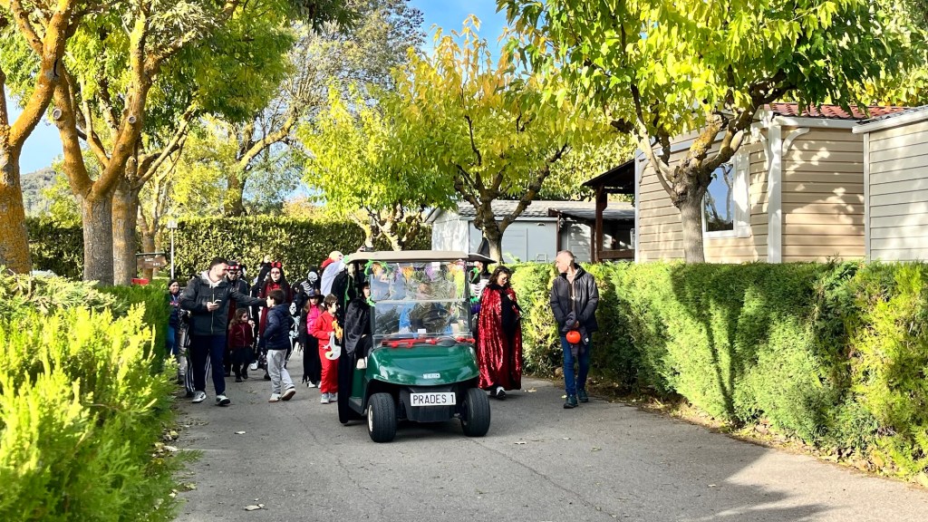
We eventually came to the conclusion that the campsite must host a Halloween themed weekend, as a little while later, a little road train came tootling through playing music followed by most of the ghouls, skeletons, witches and other ghostly bodies I had seen earlier. They then headed off around the corner to the pool area, where they had a little party. Some of the guests had also decorated their holiday homes with pumpkins, cobwebs and tombstones and with everyone milling around, we wondered if there was a “best decorated holiday home” competition going on too. Whatever it was, it livened up the campsite with everyone wandering around.
We spent the afternoon and early evening relaxing, making periodic dashes to the see how the laundry was doing, checking out the little supermarket (very well stocked) and the on site restaurant. As darkness fell, the motorhome opposite to us, lit up their pitch with lights making their Halloween decorations glow and even more spooky, the eyes of the wailing ghoul glowed red. It was quite an attraction and drew quite a few people to admire. Luckily, none of them knocked on our door and so we’re stuck with the kiwi fruit.
We’re stating here for two nights, so plan to go for walk out into the countryside, following a couple of advertised routes to nearby attractions. So another slow morning, leisurely breakfast and a wander – perfect for a Sunday.
We had a plan. Breakfast at the campsite’s cafe by the reception, walk to Bot and check out the town’s market, walk back and head off.
Last night’s sunset
So we wandered down to the cafe only to find that dogs weren’t allowed inside – it was quite chilly and not conducive for sitting outside. So we knocked that idea on the head and decided to walk into town as planned. We’ll get breakfast in Bot. We walked along the road and up the hill, passing the chicken farm (urgh) and found the streets eerily quiet. We came up to the little square with a little cafe to one side, but still a severe lack of townspeople hauling bags and trolleys full of produce. We looked down side streets and alley ways for any signs of a bustling market and eventually resorted to asking a passing lady who pointed us in the right direction. Following her instructions, we came up to a covered area featuring a single fruit and veg stall lining the back wall and another stallholder just starting to unload boxes of shoes on trestle tables and that, ladies and gentlemen, was Bot’s market.
So not quite the bustling market we had hoped for, so we wandered back to the little cafe and ordered a consolatory croissant, a pain au chocolate sort of cake and two coffees – total cost 6.60 euros. The coffee was very strong, enough to put hairs on your chest and we mused that throughout France and Spain we hadn’t seen any decaf coffee advertised. Was it just not in their vocabulary, a complete and utter abomination to coffee drinkers, more of a cosmopolitan thing or we were just too wimpy to ask for it? Most likely the latter.
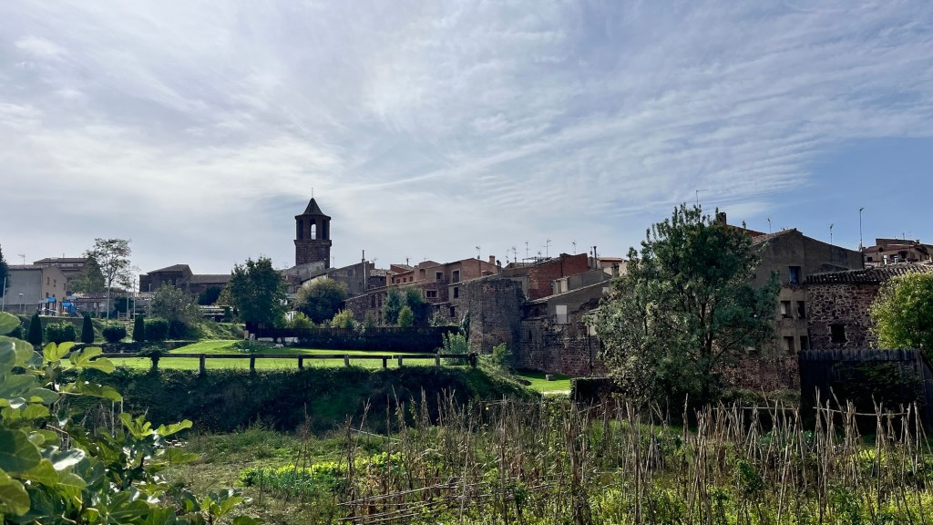
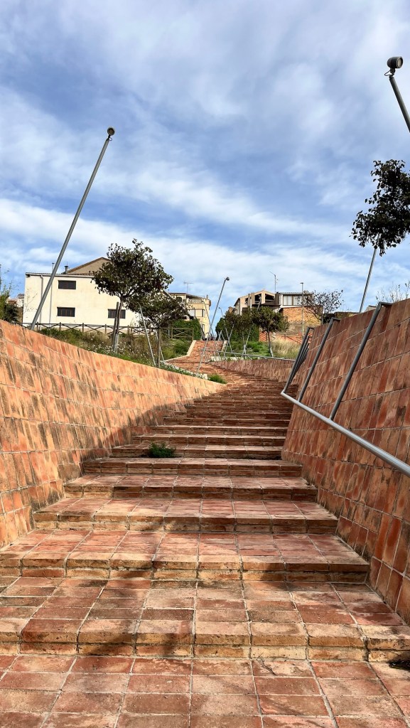
With nothing else to do, we wandered down to the old railway line – we had discovered another way back to the campsite avoiding the road while having coffee. Here, out of the blue were some information boards describing Bot’s chequered history in several languages and a fancy set of brick steps leading down to the station – in total contrast to the town itself which, on the face of it seemed just an ordinary rural Spanish village getting on with life and not being a particular tourist attraction.
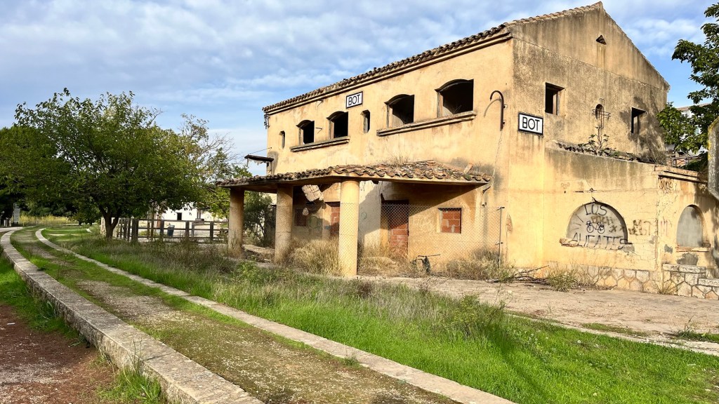
The disused railway had been converted into a pathway, the old station in disrepair which was a shame – it would of made a lovely residence or a brilliant cafe stop. There were big bill boards announcing some form of regeneration here, but apart from the gravelled path and another new building, nothing much else had happened – it just felt that this part of town had been forgotten, though we reminded ourselves that we were deeply out of season and it may be a different story in high summer. With this path connecting with the campsite, maybe the local planners had something special in mind and on the verge of executing their vision.
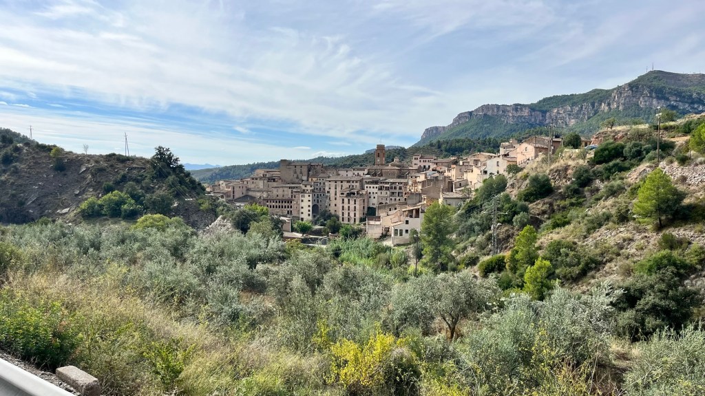
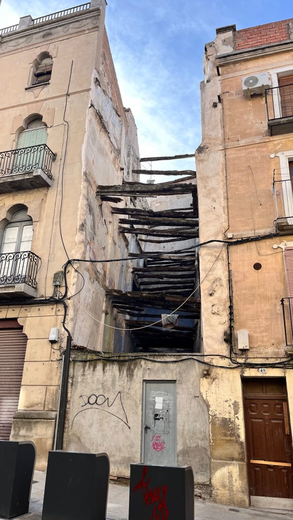
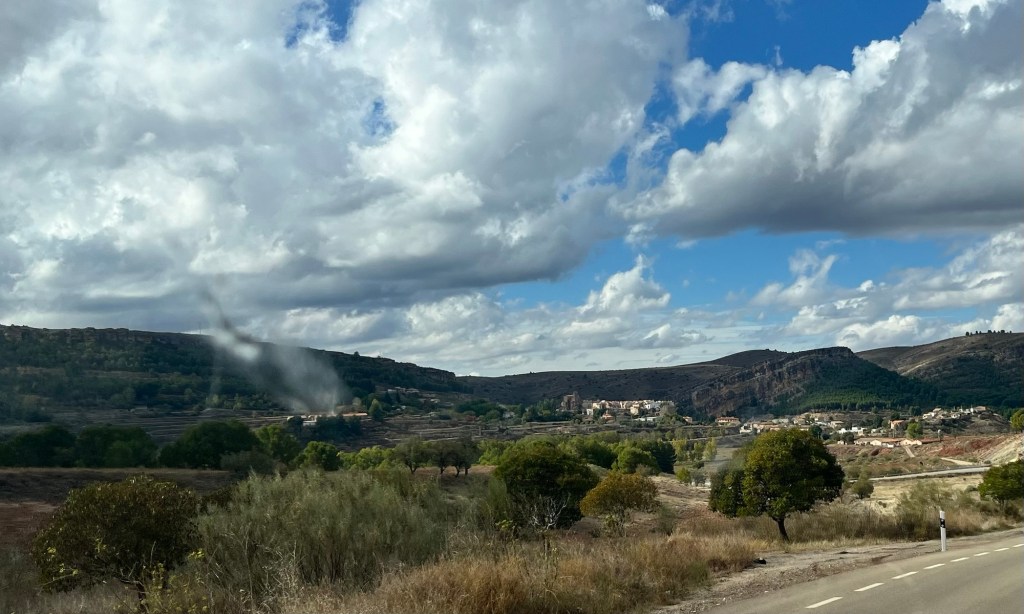
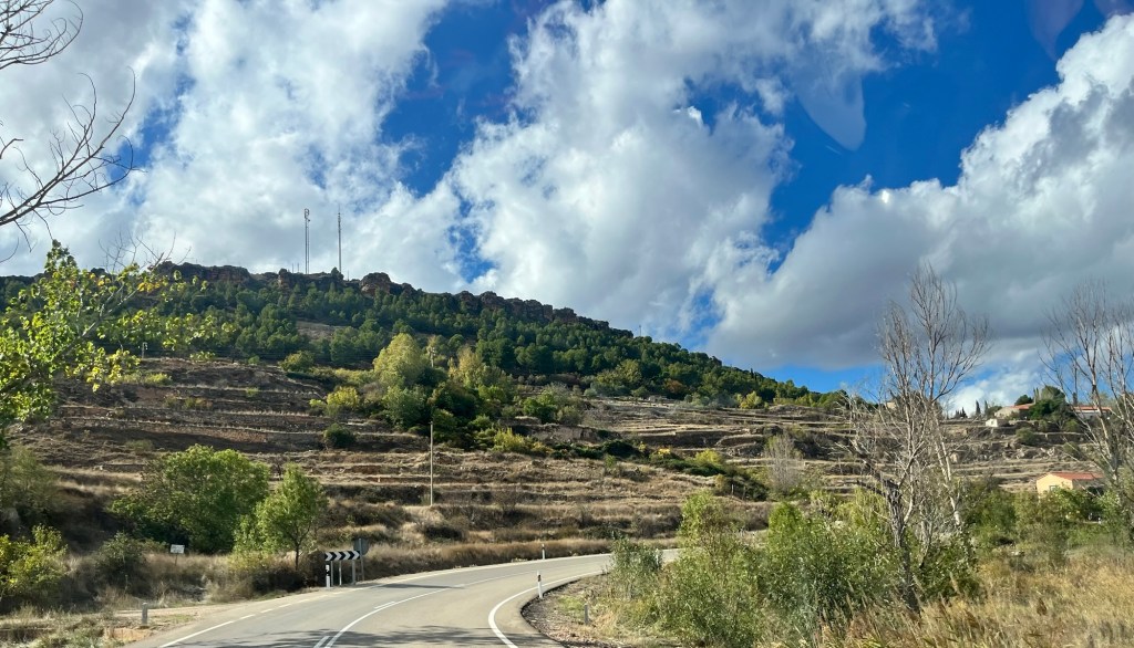
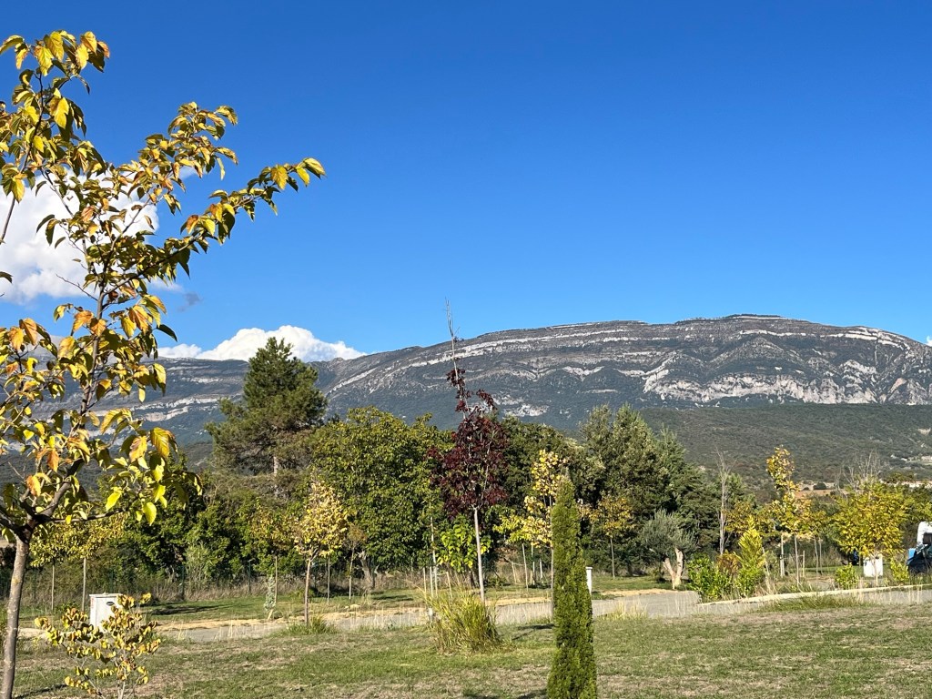
So we followed the path back to the campsite which was lovely, looking across the valley and the mountains in the distance. Once back, we packed up the Van and headed off as we had a lunch date booked. We were in a fantastic mountain region and we followed some fantastic roads through some incredible valleys and wooded hillsides. This was wine and olive country with rows of vines and orchards of olive trees on the higher reaches. We passed small communities perched on hillsides, which seemed to be miles from their neighbouring counterpart, their houses cascading down on top of one another – some half built and seemingly abandoned, others just falling into disrepair while others were well kept and looked after. It was just a strange scene repeated in every community.
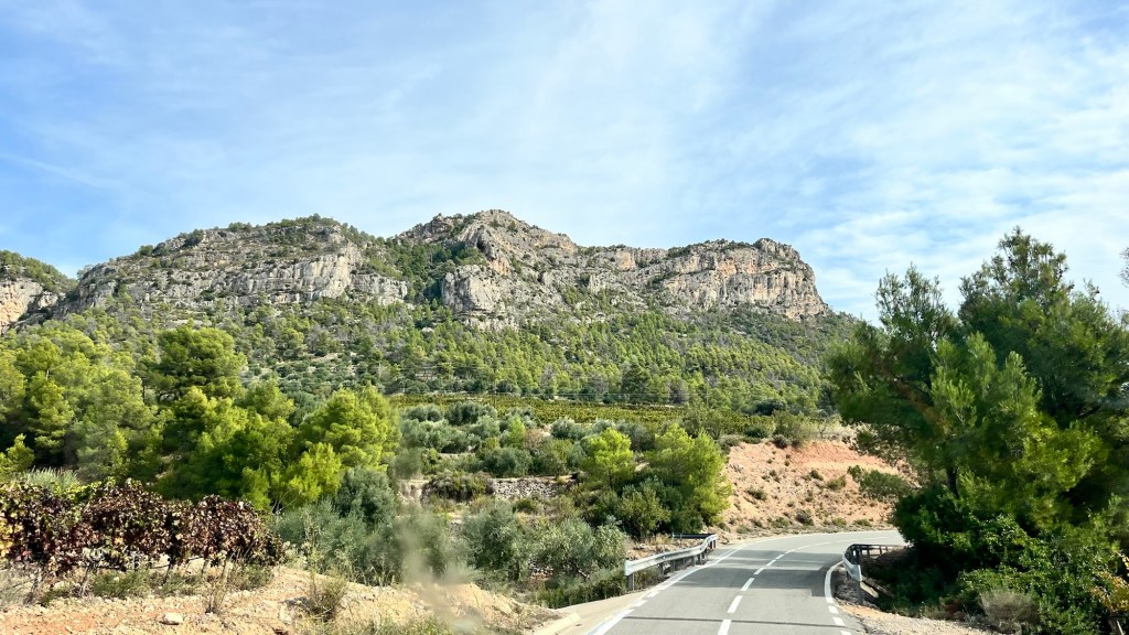
We had chosen the longer route that was offered by the satnav which was fabulous and had us gasping in awe as we rounded corners. This was probably the best day scenic wise and we loved every minute. And then the road started to narrow – it was an ordinary two way road wheedling through the mountains, but both lanes narrowed considerably so our Van straddled the white line in the middle as did the oncoming traffic (of which there was very little, thank goodness). Basically there was nowhere to go if we met anyone – we had thick metal barriers on our side, protecting us from a precipitous drop and the opposite side alternated between barriers or a rock face, though it did have a channel/gutter to drop into. Luckily we met other vehicles at points where the road widened slightly and we slowed down accordingly whereby the other motorist was either supremely confident of his width or didn’t know what brakes were for. With raised eyebrows we waited for either a scraping down the side of the Van or my wing mirror pinging off and flying into the abyss, but in reality, there was probably acres of space – its just alarming to find a speeding Seat flying round a blind corner.
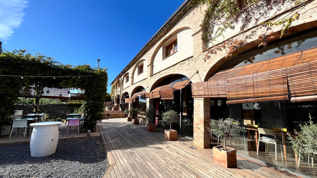
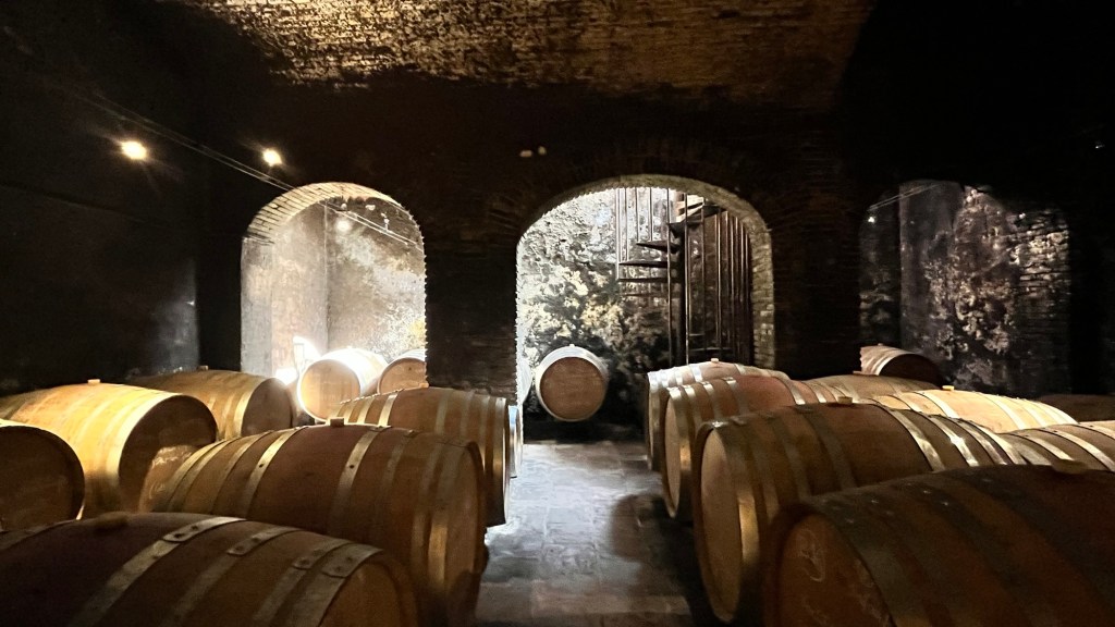
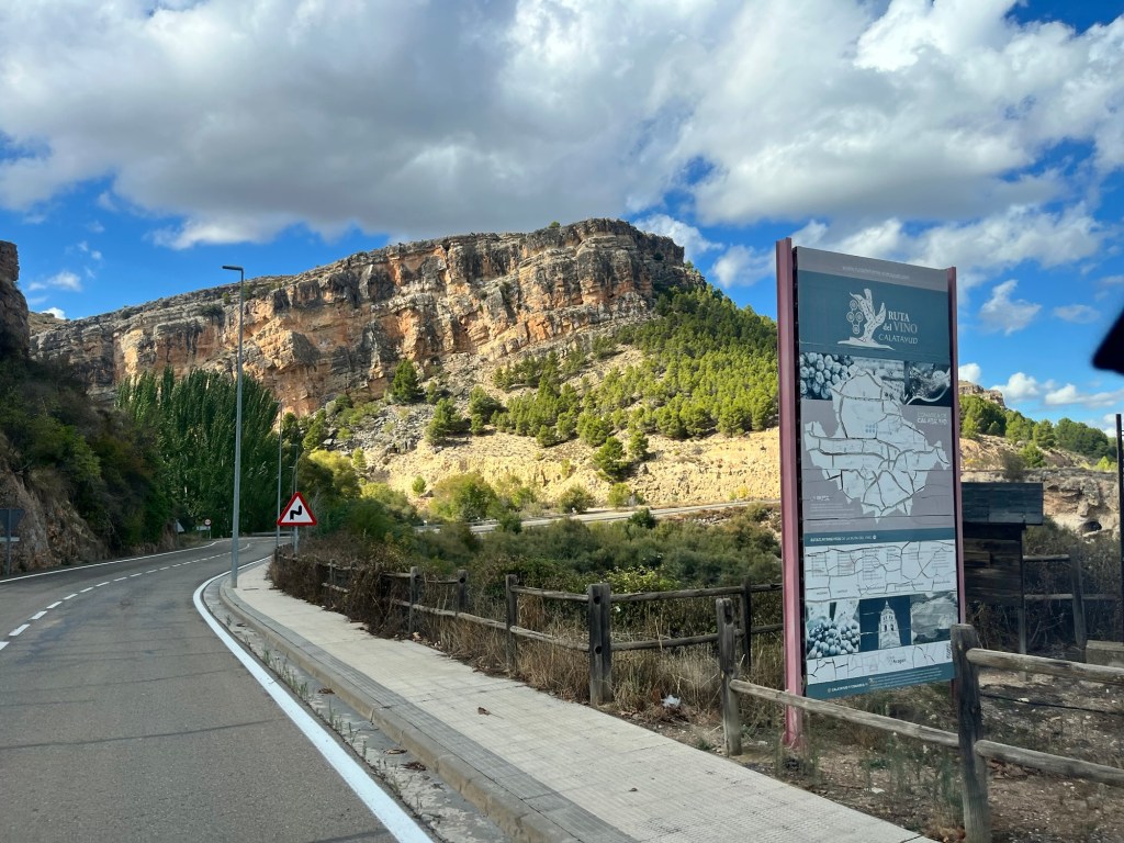
We found ourselves at our destination of Gratallops, in the heart of the wine country. It was Hubby’s birthday and we decided to treat ourselves. We parked in a dusty car park behind a cafe and as we were getting organised, a huge cement lorry parked next to us. Eeek. We wandered through the deserted town which seemed to have its fair share of wine cellars and restaurants. We found our particular place with huge plate glass windows framed in wood and introduced ourselves. We had booked a wine tour and was taken into the small fermentation room with huge metal vats by Jessica who gave us a talk about the region and how the cellar started (a former chicken factory of which there were many working ones scattered along our journey today). She then took us down a metal spiral staircase into the actual vaulted cellar where the oak casks laid on their side. It was very interesting.
We went into the restaurant and enjoyed a lovely three course meal with a glass of wine and got chatting with a couple of Swiss ladies who made a fuss of The Pup and who knew our part of North West England well. It’s amazing what you learn from people. We thanked our hosts for their hospitality and wandered around the town and back to the Van. We hadn’t booked anything for tonight so after a quick look on our phones, settled on a place just south of the town of Ulldemolinas and headed there. Another 45 minutes and lots of winding mountain roads (and more gasping at scenery and fast oncoming vehicles) we arrived at Montsant Park Camping. Hubby went to check in and was faced with a non English speaking receptionist – with a mixture of fingers indicating the number of adults and by pointing at our parked van, he was getting away with it until he came to mentioning the Pup. His limited Spanish (like me) deserted him completely as he tried to think of the Spanish word for dog and with delightful quick thinking, just said “woof” to the lady and bless her, she understood completely and booked us in.
We have been a bit all over the place linguistically in Spain for several reasons. Firstly, our Spanish comes from the classroom from many years back which we can’t remember much of, secondly we’ve been in France and had got fairly comfortable mangling French and now have been thrown with the sudden change of language and thirdly, after getting confident to blurt out a stuttering sentence, the Spanish reply in English (are we that crap?) and fuse a few brain cells. So instead of saying “Si” we say “Oui” and many other French phrases and when we not looking completely blank, we manage to reply using all three languages simultaneously in one sentence (which is quite a talent and one which Hubby excels at). It doesn’t help that Catalonia has its own distinct dialect so our strangled Spanish sounds nothing like how the locals speak. We’ve got away with it with a lot of hand gestures and if necessary bark.
We found a pitch opposite a row of caravans with awnings attached that had evidently been parked there for many months, presumably as an alternative to buying a static caravan or lodge. It was gone five as we plugged in electric and turned on the gas and by the time we had fielded family phone calls sending birthday wishes, the light was going. We didn’t make tea – we were still full from lunch and settled down to write blogs and to find campsites for tomorrow. We’ll probably book two nights – the laundry bag is overflowing again and the Van could do with a bit of clean. A bit of a reset is overdue.
It was distinctly chilly this morning – the coldest we’ve felt on this trip.
We got organised and met Arne, the very tall owner of the campsite – he was very friendly and could switch from English to German and back again with ease. We made a fuss of the huge Bernese Mountain Dog who was very sweet. Arne wanted to take photos of us and the Germans to put on his website, so we duly obliged – we think he wanted us to stay longer too.
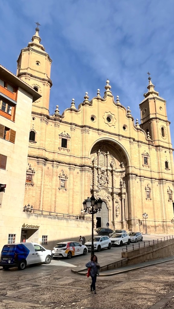
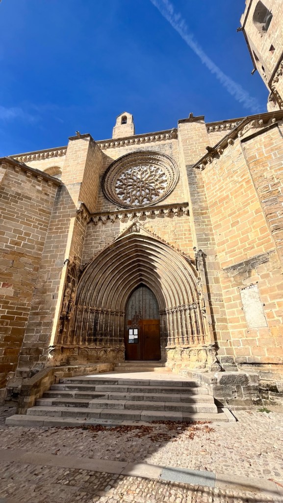
We headed east in glorious sunshine again and stopped at Alcaniz, yet another town perched on a hill with the old town and a dominating church peering down. We parked at the base where it was more modern, finding a free camping car park after a brief tour of the block. We sauntered over the bridge and steadily climbed up where the cathredal stood – a huge edifice that you had to crane your neck to see its upper levels. It was very impressive.
Opposite was a cafe and we sat outside, after ordering coffee and pastries from the lovely proprietor. I said “Buenos Dias” and he immediately broke into English. Is my Spanish that bad or was it just the accent killing it? Anyway we had a nice elevenses and the Pup got a big slice of ham from the owner. I went to pay and was served by a young man – again he spoke English. He told me he wanted to practice his English skills and I replied that I wanted to brush up on my Spanish, so we did. Maybe, all the Spanish want to do is to speak English with a real Englishman and nothing to do with my poor communication skills.
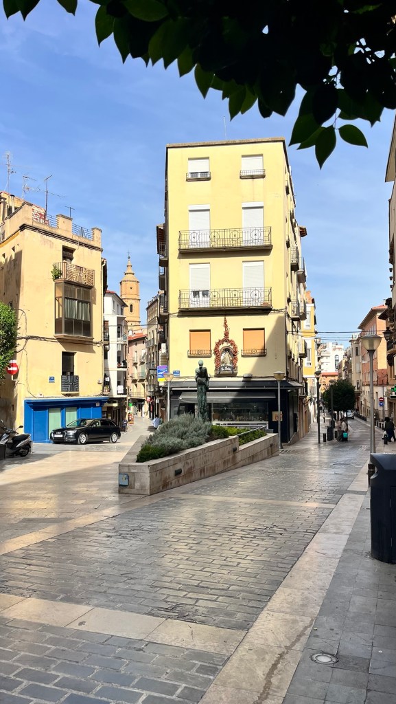
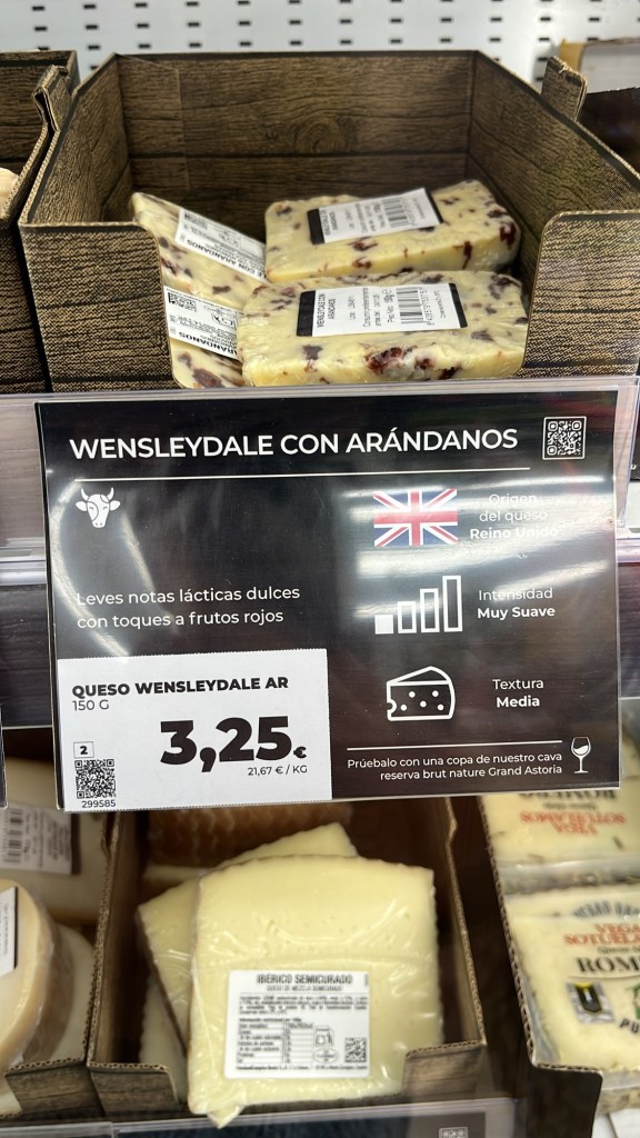
We wandered around the streets admiring the buildings and little alleys before bobbing out on a busy street lined with modern buildings and various shops. We wandered up and down both sides, stopping at a bakers to get more bread products, before meandering back to the Van. About 150 metres away was a Dia supermarket, so we bobbed in there to get some provisions and to stock up the Pup. Perusing the cheeses, I came across a packet of Wensleydale cheese with blueberries – I was tempted to buy it, but took a photo of it for prosperity.
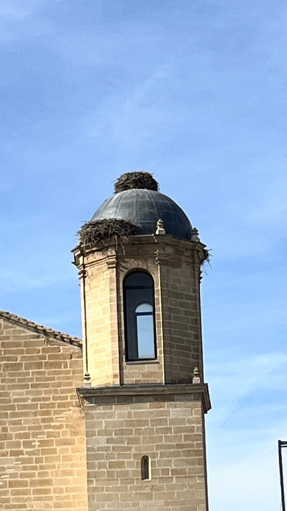
They definitely haven’t got a pigeon problem
We hit the road again and headed out towards the N232, where I made my first navigational mistake and found ourselves heading in the wrong direction. It involved a 4k run to the next junction and to come back on ourselves, but we we soon back on track. We drove through similar country just like the past two days, totally fascinating, very different and captivating. We stopped randomly at Valderrobres, a town you could easily pass through, to check it out and we were also hungry. We parked in a dusty car park unsure whether campers were allowed in, but with the absence of any signs saying not, we cut the engine – there was plenty of room. We were sorting ourselves out when a hearty Yorkshire voice hailed across the car park “typical, another Brit parks right next to you”. It was lovely to hear an English accent, knowing it would be a brief encounter. He told us to walk down to the T junction and do a right towards the river, so we did after saying goodbye to him and his friends. He did us a favour – we came across a little square with a couple of small cafe bars, dappled in sunshine and we took a table. This was what we were wanting last night – a bit of ambience and a few more people. We ordered a beer and food and apart from a couple of insistent flies, we enjoyed the meal and tortured the waiter with our mangled Spanish. He reverted to English, probably to practice.
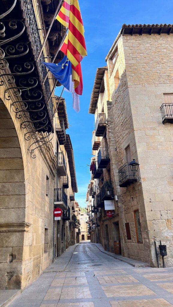
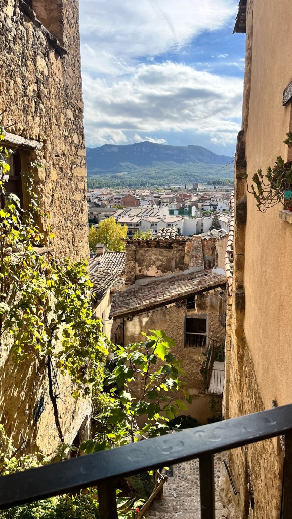
Afterwards we waddled over the bridge into the old ramparts of town just as a coachload of tourists appeared – we quickly hastened our pace and walked into a delightful spot. It was a gorgeous series of alleyways, steep steps, balconies almost touching each other, all the way to the church on the summit. We seemed to be drawn to these beautiful medieval places, preserved and timeless rather than their dilapidated counterparts that we’ve been passing. We descended by a series of steps down twisting alleyways until we got back to the bridge. We strolled back to the Van and carried on with our journey.
Unbeknown to us, we had left Aragon and entered Catalonia (not sure when) and began to climb back into tall hills and mountains. The sun had warmed the day to a comfortable 20 degrees which was lovely. We had to override the satnav as that would of taken us down a rather dodgy route, so we went via the town of Horta de Sant Joan which had a market on Fridays – we might come back to this. We were heading for the delightfully named village of Bot and sitting on its outskirts, the Camping Terra Alta who offered us multiple pitches in which to set up home. We are terrible at such decisions and cruised the site until we found the perfect spot (we have stopped shuffling the Van to find the right angle – wind and sun considerations – but as we have usually been hemmed in by hedges it’s cancelled out such issues).
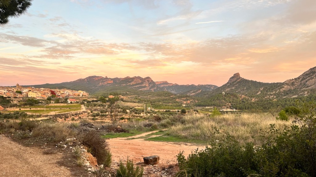
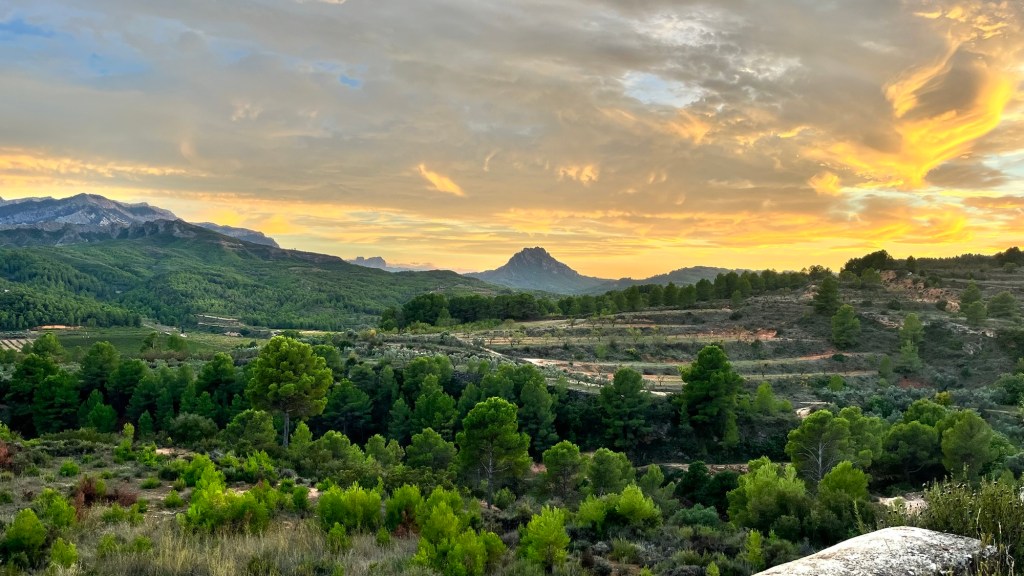
The kettle went on for a cuppa and we relaxed for a bit. The sun was setting and the kindly chap who signed us in, suggested a walk above the campsite to watch the sunset which we duly did. We found a gate at the back of the campsite and wandered up a stony track – fabulous views across to Bot and surrounding hillsides and around the corner, the jagged silhouettes of nearby mountains. The sinking sun turned the clouds a gorgeous red and as we retraced our steps, the countryside turned a beautiful delicate pinky hue, the exposed rock glowing in the twilight. It was a stunning sunset and we were glad that we had made the effort. It was a fabulous treat.
We waddled back down, listening to insistent cockerels crowing in the valley below, the Pup with her nose to the ground, sniffing furiously. We had seen boar signs on the road and hoped one didn’t come barrelling out of the undergrowth. I had seen two huge black cats already – they looked like small panthers. As the dark took over, we sat in the Van and cracked open a local bottle of wine – for eight euros, it was very nice. We discovered two things: the campsite did breakfast from 9am and Bot had a little market. Perfect, that was the morning sorted. I was after a map of Catalonia – each night I had faithfully drawn that day’s route, firstly on an ancient and incoherent map of France, but failing to found a map of Spain, I had continued to mark, in bright pink felt tip, our route on a map of Aragon picked up in Alquezar. Apparently Bot could solve that problem.
With the deep red sky tonight, hopefully we will have another beautiful day tomorrow.
Now this is more like it – brilliant sunshine and deep blue skies.
We did our usual morning routine and I went for a shower and was very happy. The shower cubicles were self contained with your own loo, washbasin, big mirror and numerous hooks. The shower had a tap and you regulated your own temperature. I was in heaven.
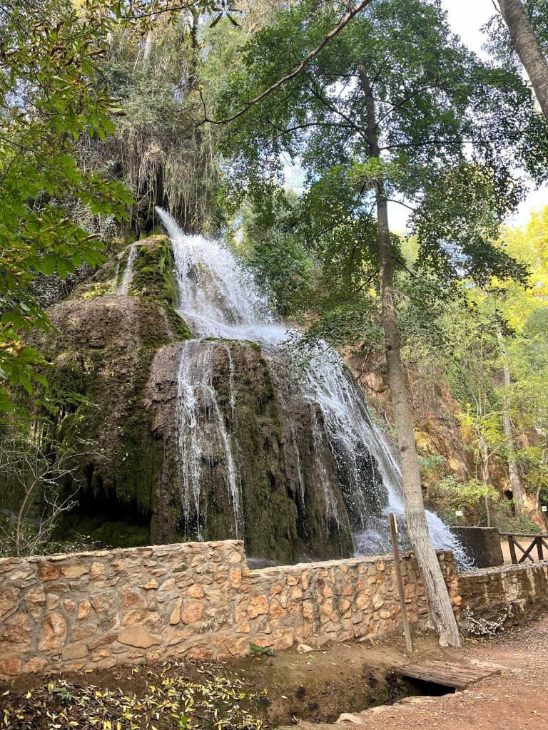
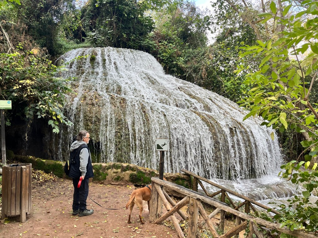
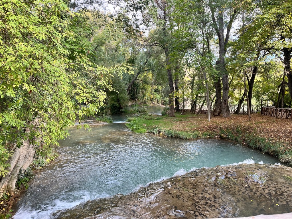
We decided to visit the Monasterio de Piedra, some seven minute drive up the road – sort of Spanish National Trust – and parked in an ample car park. We wandered in under an avenue of trees and went to the gate to get in. The man at the gate, peppered us with rapid fire Spanish, but we soon realised we had to get tickets from the shop that we had just passed. Once we had accomplished that, we spent a glorious few hours wandering this delightful park – there was a map showing the different routes, but it was also signposted with arrows, so we just followed them, through trees, tumbling streams, little towers, small ponds until we reached the waterfalls which were just a sight to behold, cascading down rocks and cliffs. We stood for many minutes in awe. We climbed up steps, we walked down steps, we stood over a valley and watched beautiful birds of prey riding the thermals. It was fabulous.
We strolled back to the exit – there were photographers posted throughout the walk wanting to take your photo to which we had declined. Yet again, we were accosted here and were replying in very broken Spanish “no photos, thank you” to the young girl who was pointing at the Pup until she finally said “Exit” and pointed through the entrance. The official exit was a turnstile affair with no chance of getting our four legged friend through – this lovely photographer was trying to help. Suddenly it dawned on us on what she was saying and feeling a touch stupid, we thanked her profusely and smiled apologetically.
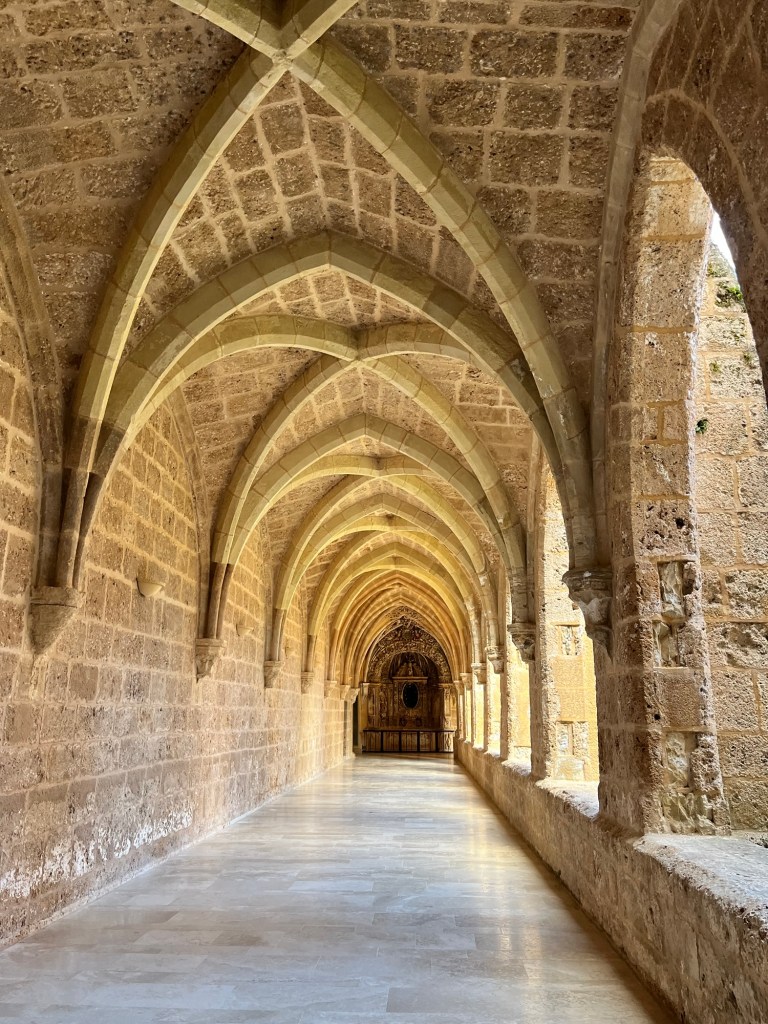
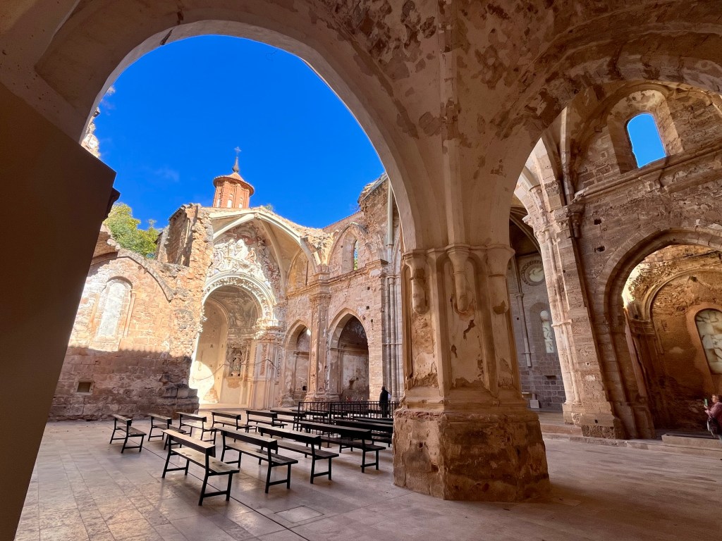
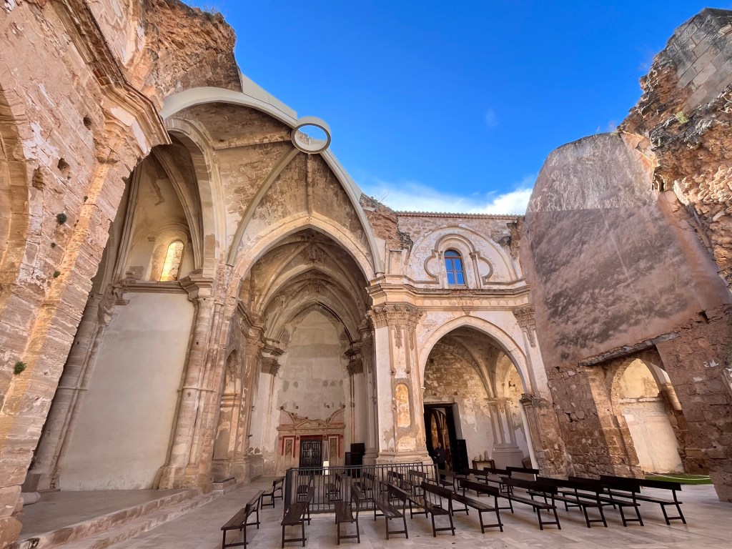
We were hungry so we went to the restaurant bar -no dogs inside, but we could sit on the terrace which was completely empty. Billy No Mates. So we wandered up to the monastary, to kill some time, which again didn’t permit dogs, but we decided to go in one at a time for a quick look and was so pleased that we did. We’re not normally ones for stately homes and such like, but this was a gem. Part of it was attached to the very upmarket hotel, so you could see into the lobby, but further down there was a beautiful courtyard with archways. A little further was a wine exhibition over two floors and beautifully displayed. Wandering down the side of the courtyard, you then came across the original monastery, with its roof missing and open to the elements, the walls still intact and standing. I stood there amazed with my mouth open – it was simply beautiful and serene with the cream stone against the azure sky. I could of stayed there all day. I went back to do some dog sitting while Hubby went in and had a look and he came out equally astounded at what he had seen. What a beautiful little gem.
The restaurant terrace was busy by now and we sat in a sunny corner. We got the gist that you had to go in and order, so I did. The coffee and the tea arrived at the counter first (a cup of watery milk with a teabag (black tea, not green like I got the other day) on the side) while I wondered what happened with the two sarnies I had ordered. It was while I was in a state of total indecision and on the urge of using Google Translate to voice my concerns, that the sandwiches arrived and my next dilemma was how to get everything outside (no trays), so I did two runs. Hubby had a bacon y queso (cheese) in a baguette and I had ordered a patata omelette squeezed into a baggie – weird, but very nice.
We had kind of exhausted the Monasterio de Piedro and we also had a two and a half hour journey across the Aragon region to our next campsite – it was gone one o’clock already. So we jumped into the Van and headed off, along twisting roads, valleys and ravines. This was definitely Spaghetti Western country, so we looked it up to check – Aragon and the north east of Spain were definitely used as locations in 1960’s and 1970’s as Mexican deserts, though it was further east. This landscape wasn’t too far off and with a little imagination, you could see Mexican snipers high in the hills ready to pick off Yul Brynner.
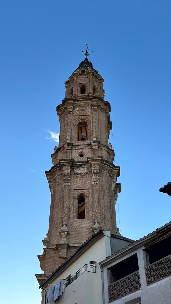
The terrain changed soon after – we came out on a wide plain with mountains in the distance and a long straight road ahead of us. Satnav said to stay on this road for 29 kilometres and we hoped it might bend between now and then. The road was essentially a back road with hardly any traffic bar the odd tractor – it gave our Van’s suspension and our backs a good work out. The odd village appeared out of nowhere, it’s dominating church tower pointing skyward, which the road circumvented (we never went through the centre of these communities). There were lengthy patches of brand new tarmac along this never ending road which were a delight before they abruptly ended and the bumpiness resumed. The ground was a reddish colour, the fields tilled but full of small rocks – every now and again, stacks of rectangular hay bales stood in the fields, recently harvested.
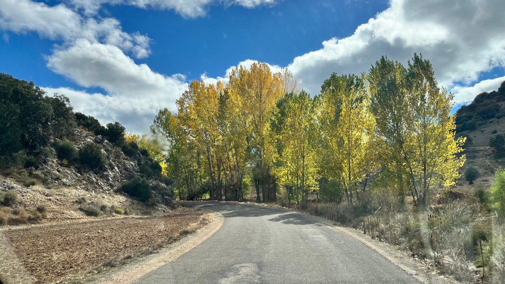
The lowland hills beckoned and now we were back into woodlands, crags and lolling hills. Some trees were in their full autumnal glory. It was like turning a page in a book and the plot changing. It was certainly an interesting landscape and we spent a lot of time gasping as we came around bends. At Calamocher, a sizeable town, we finally went on a bigger A road and went over the A-23. The land briefly went flat again, travelling across arable farmland, the soil changing colour and gradually we wheedled up back into the hills – we reached the giddy heights of 1260m above sea level before we rolled back down again. I stopped taking photos – the panorama too vast and wide for the camera to appreciate – you had to be there to be able to take in the ever changing vista.
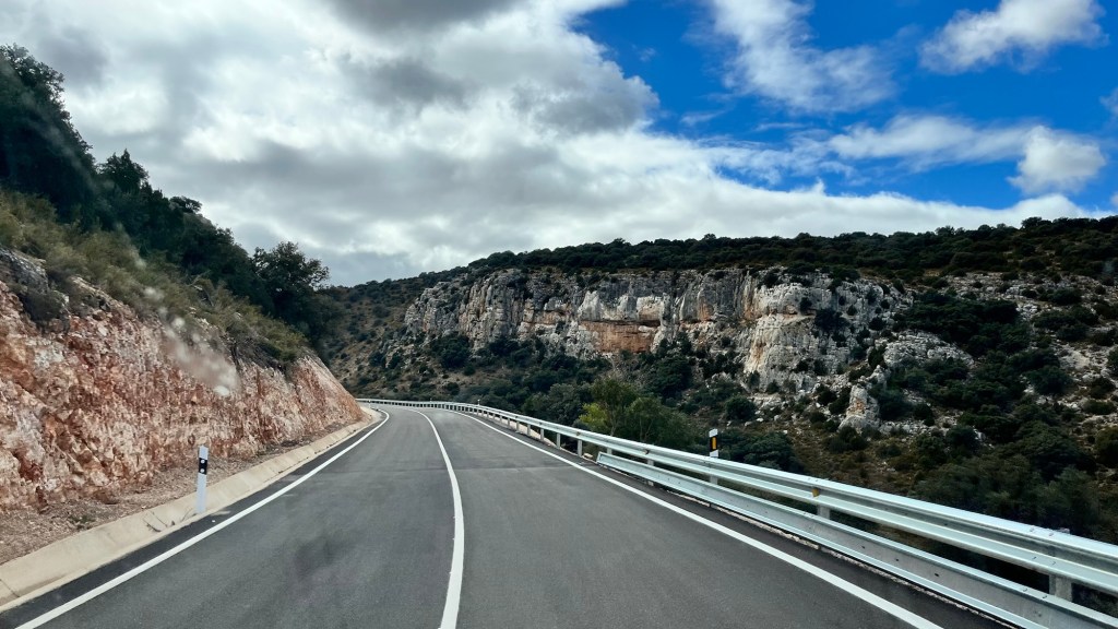
The terrain then turned mountainous again, we bypassed little towns and villages all in that look of disrepair. Our road was wide with large junctions, but there was hardly any traffic on them – it seemed new in places with gleaming barriers. The engineers had also blasted through rock obstructing their path through the mountains as there was no other way, but it seemed wrong to destroy such beautiful surroundings.
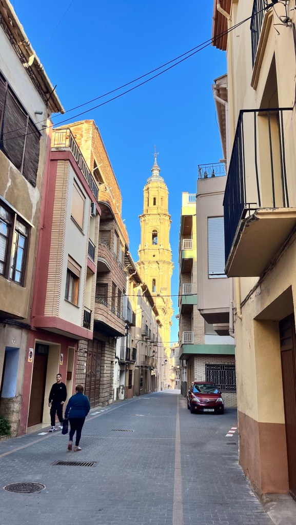
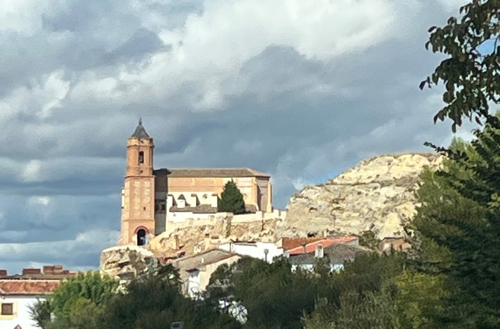
We finally came up to a roundabout which was a bit of a shock after all this time of non stop driving. It felt that we had been in a coma. We only had a few more kilometres to go before we circumvented the town of Mas de las Matas and sitting on its southern edge our campsite, Camping la Palanca del Mas, a small, but compact little site. We found a sunny spot and set up home, the German guy camping next door coming over to explain everything to us. Later another German couple turned up in a camper with a huge Bernese Mountain dog lumbering out – that must be cosy. The woman had a chat with us in a mixture of English and German though she said she was better in Spanish. I was just rubbish in both languages and sometimes English too. After a well earned cup of tea, we wandered into town, some ten minutes walk away, looking for a beer. We walked down its quiet, narrow streets full of tall buildings and found a row of bars, most of them shut. One was open, but was tiny and just had two local guys swapping stories over a beer. We hesitated – it was only 6pm, but nobody was about and there was no atmosphere. So we carried on until the road opened up into a little square where the church stood, its bells chiming the quarter of the hour and its tall steeple looking across the countryside. We sat on a bench and contemplated – two ladies walked past, yoga mats tucked under their arms, three cars pulled up and then disappeared and the hairdressers opened up – otherwise the town remained quiet.
We had read that the bars opened at 8pm, but our stomachs couldn’t wait that long. We wandered around town, locating bakerys for the morning and coming across open eateries, but lacking in clientele – again, it was men who sat outside clutching beers and the ambience just wasn’t there. We walked down some residential streets before heading back to Van and cooking pizzas. We had it in our heads of towns coming to life in the early evening, drinking and eating convivially until we realised that probably happened in the larger (and probably touristy places) rather than small rural places like this. It was a nice wander in the evening sun and nice to visit little towns, the underbelly of European countries rather than the tourist towns and their gift shops and other attractions.
Darkness fell heavily and we curled up with a bit of catch up TV before retiring to the warmth of our bed to read. Tomorrow, a little short hop and squeezing in a couple of little medieval towns.
It was raining as we first stirred this morning, started to brighten with chunks of blue sky at breakfast and as we left the campsite, the mist dropped down again and obliterated any forthcoming views.
It had rained quite a bit. The whole campsite is just sand with stony areas, so it just turned into sandy mud that clung onto everything. The Pup was not impressed having her feet wiped after every time she went out as we tried to keep the interior of the Van clean.
We headed off cross country, through olive groves and patchy ploughed fields that were full of stones and small rocks. We picked up the A-22 dual carriageway towards Huesca, running parallel with the Pyrenees, poking the odd peak through the clouds that obscured them. The A-22 was a relatively new road with sparkling new central barriers and smooth tarmac. As we neared Huesca, the cloud finally loosened its grip and allowing the far reaching views that had been missing these last two days to return, thought they still lurked, low and moody in the background.
The Pyrenees
As we skirted Huesca, a big looking city, the sun finally took charge and we crossed the huge arid plain between Huesca and Zaragoza under blue skies. It was a big jump today to the mountainous south western region of Aragon. We picked up the A-23 as we drove south across the flatlands – even with these big roads we were looking at nearly three hours of driving, but it would give the Van a good blast after many slow days of crawling through the Pyrenees.
We skimmed the eastern flank of Zaragoza, another vast sprawling city and peeled off to head south again, staying on the A-23. As we neared the mountains, the cloud began to gather again and blot out the sun. Here, the landscape was a sparse and desert like, dusty, treeless and bleached yellow. The towns seemed full of industry, surrounded by semi arid hills and stumpy trees. This reminded us of the old Western films and half expected to see Clint Eastwood pop out from behind a bush, with a cigar hanging limply, looking moody with a grubby poncho and a Colt 45 in its holster – we played the Magnificient Seven music just to complete the mood as we drove through this strange, but fascinating landscape.
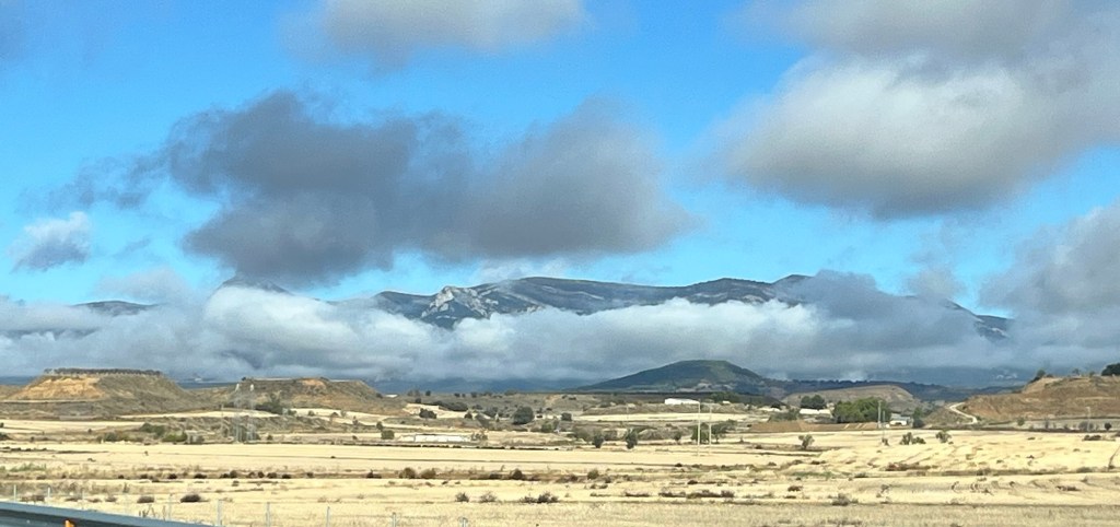
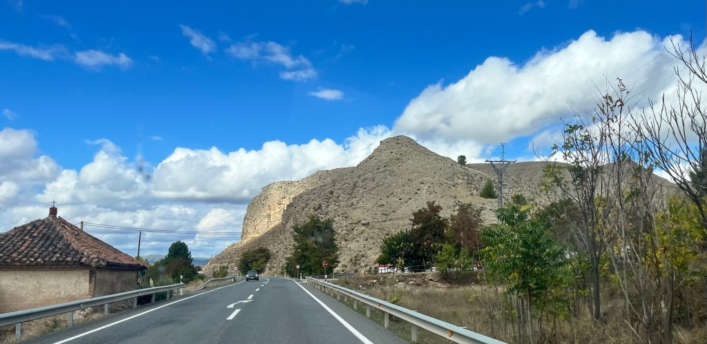
I have a habit as we’re driving along to make notes in a notebook of what I see, so I can write them up for the blog later that day. Like the weather, the scenery was constantly changing and I struggled to keep up. The barren plateau started to change into more green, with valleys below us with tall poplar trees and little clustered communities surrounded by greenery on small hillsides, their tall bell towers in their village centres poking the sky. Then it become more arable and we were in wine country, with vineyards and distilleries as the mountains started to loom up. Around the corner and it changed again to wooded hillsides and then to craggy cliffs and bare hills. The towns and villages looked abandoned, the buildings with their render dropping off, looking grubby, dusty and unloved with nobody about, as if waiting for Lee Van Cleef to come into town and clear the tumbleweed streets of hidden bandits. The Magnificent Seven soundtrack played in our heads again, but looking closer, the windows were clean, balconies had flowers and you could imagine the insides being spotless. We continued through valleys, dropping down and then up, negotiating bends, passing rocky scrublands, the soil turning a reddy brown. This was amazing and I gave up writing notes and just admired instead. The sun would bob out from behind the clouds and make it all look beautiful – we passed some quite sparse areas, but they had a beauty in their own right and we soaked up all the scenery. It seemed that the long hot summer of 2026 had left its mark on this unusual, but interesting landscape and we liked it a lot.
We finally came up to Nuevalos, a small little town and drove 800 metres beyond to our new campsite, Camping Lago overlooking the huge Embalse de la Tranquera reservoir. We could go and chose our pitch and after some consideration parked sideways on one of the terraces that made up the campsite. Again, it was gravelly site, with hardly any grass, but it was better than yesterday with less dusty sand and more stone. We made a cuppa and relaxed before deciding to walk into town – we had to walk down the main road, which if it had six cars pass while we walked the 600 metres, that constituted a rush hour. Once in town, we turned right into what we thought would be a little bustling high street, but turned out to be a bit disappointing. There was a tiny little square with two little “supermarkets”, a chemist and a bar which was closed and nobody about. We started to walk up the road, but lost all motivation and decided to go back to the Van – we stopped at the supermarket to pick up some bits and waddled up the road. The town nestled under a fabulous outcrop of rock, that towered over us, the different layers of sediment showing – it was quite spectacular.
We got back to the Van and sat outside for a while until the temperature dropped and we headed inside and made something to eat. Then we got our books out and chilled until bedtime.
We were getting a bit cabin feverish, especially the Pup after yesterday, being cooped up in the Van apart from little forays to the supermarket and to take Pup out for toilets. The weather didn’t look good for today, as this area was being clipped by a storm front further south, but we would take our chances and walk to the nearby medieval town of Alquezar, some 25 minute walk away.
We donned our wet gear and walking trainers and headed out of the campsite, expecting to walk on the road, but this was obviously a big tourist area as there was a pavement snaking up the hill. It was a decent pull up, enough to get the old heart pumping away and warming us up – there was a view out there somewhere but we just had a wall of mist to look at.
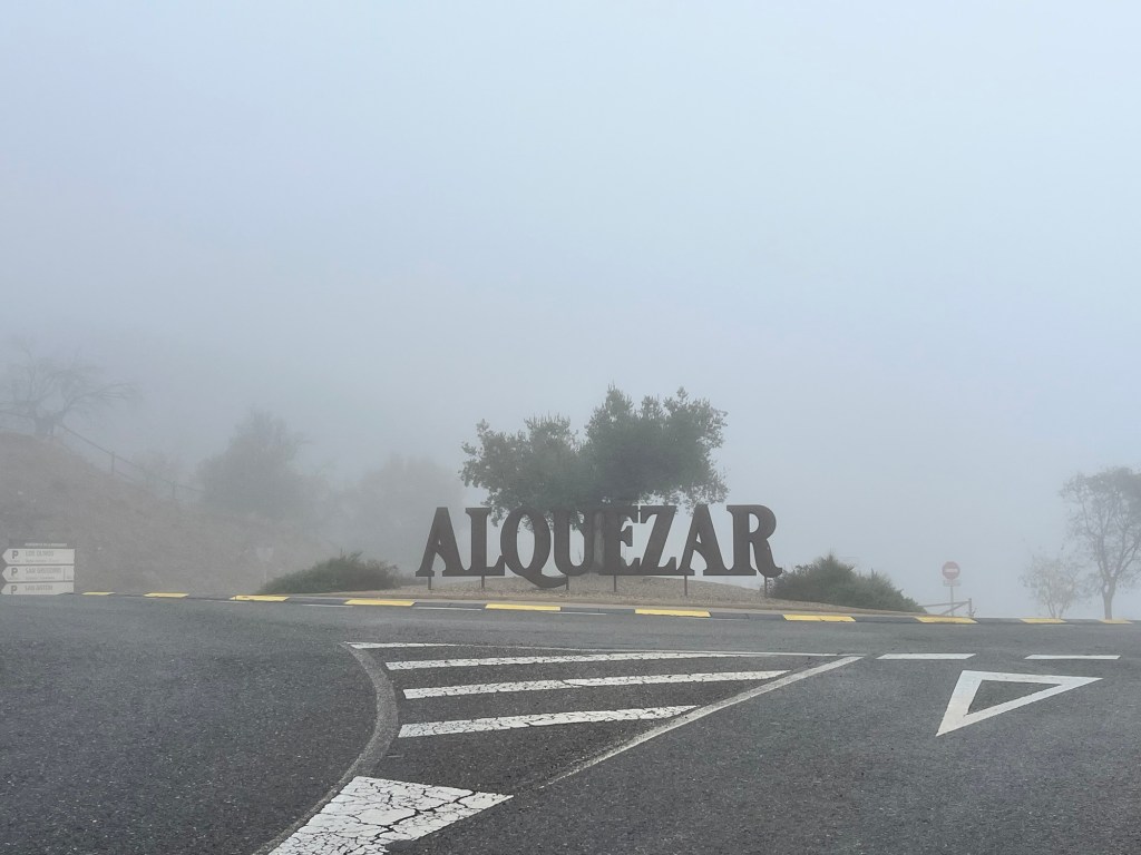
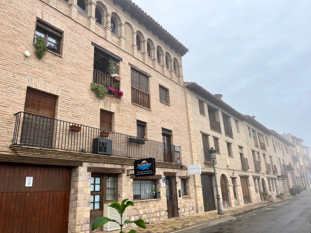
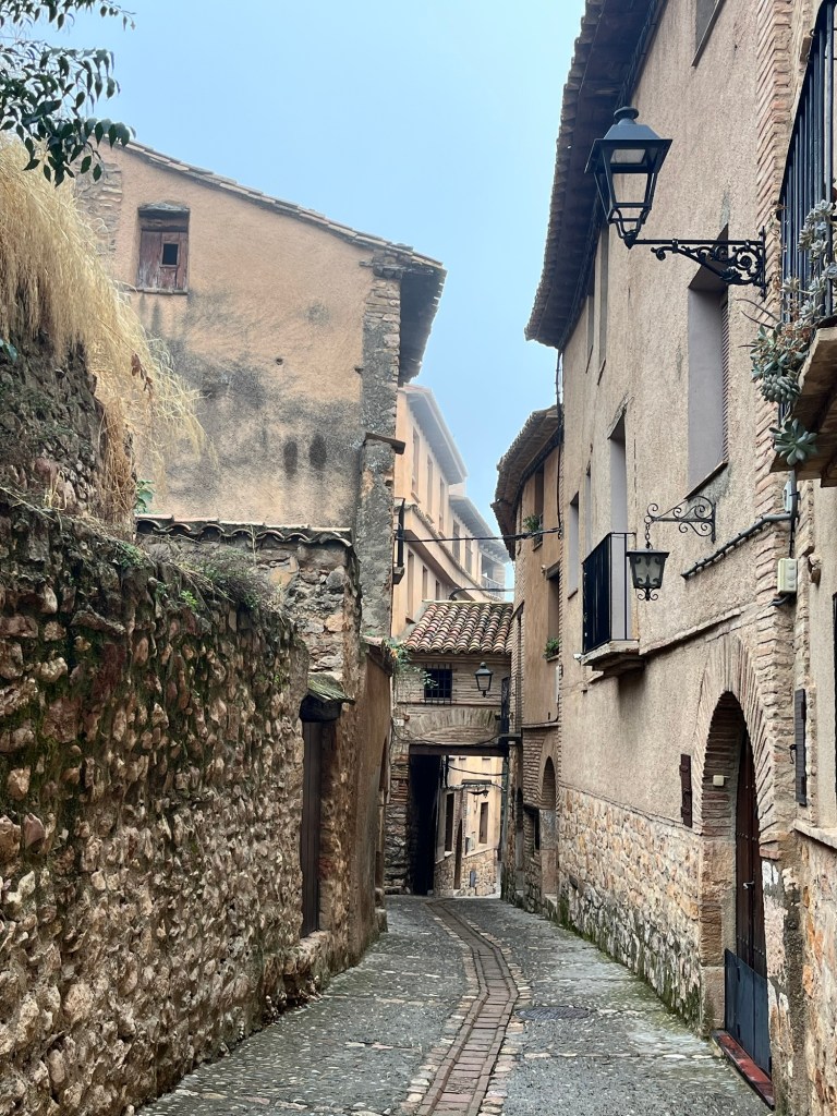
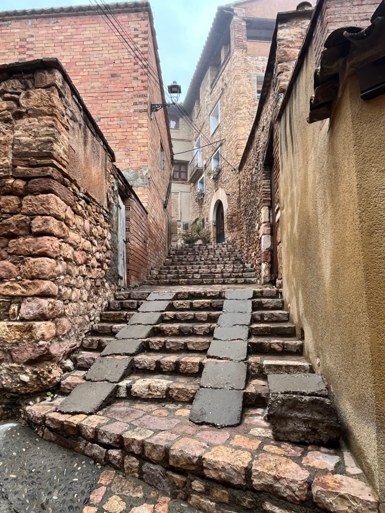
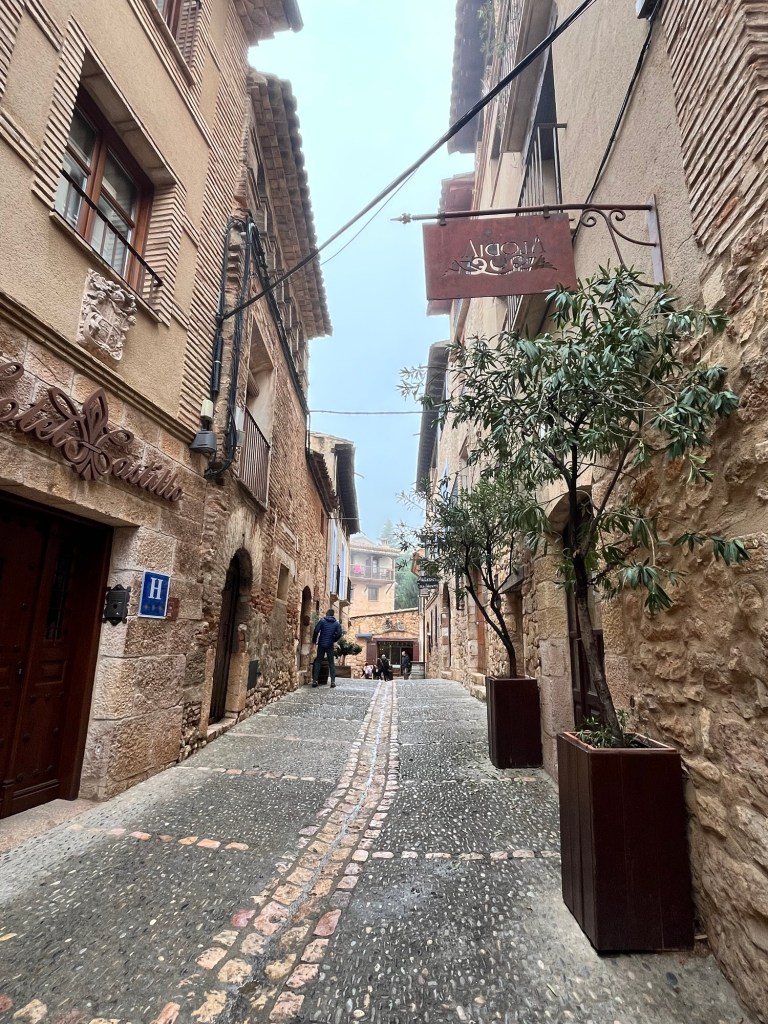
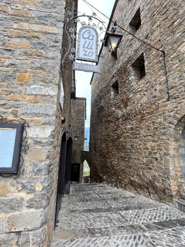
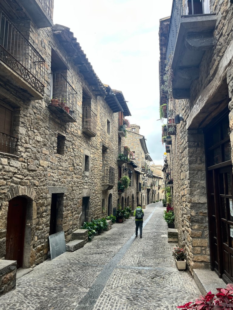
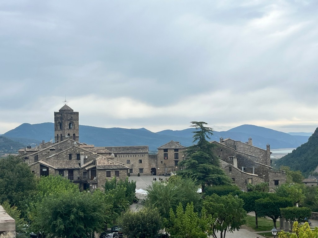
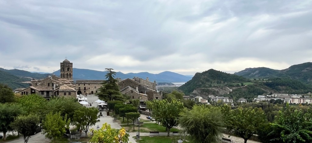
We came up to a roundabout, directing tourist traffic away to cars parks outside the village with the road into the village itself, cordoned off with electronic barriers. The village loomed out of the murk, perched on the hillside, built in the sandstone stone. Mist hung in the air as we wandered its narrow streets, with a maze of little alleyways diving off at all angles, all asking to be investigated. Alquezar was very picturesque and very quiet at this time of year with a few fellow tourists wandering around. With the size of the car parks, this place must heave with visitors in the summer – just the number of hotels and restaurants gave you a clue on its popularity.
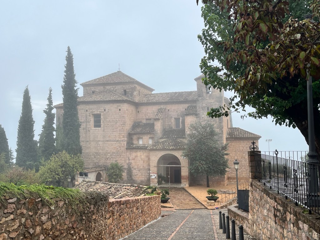
We came across the Colegiata de Santa Maria la Mayor, the main church of Alquezar, perched on an outcrop, just about visible in the fogginess, opposite was a huge limestone cliff – unbeknown to us, there was a deep ravine plunging downwards between the two. Two walkers, in full walking gear and sticks, began to drop down – this seemed to be serious hiking area. It would of been nice to have followed them, but we weren’t properly equipped so abandoned that idea and went off to search for coffee.
We found a tiny little place next door to the ultra modern tourist information office and sat outside with coffees, churros and chocolate croissants. I went to the tourist office, after a map of Spain so we could continue to track our route in bright pink felt tip pen, but came out with a map of the Aragon area instead. Not quite what I was after, but it was a great map to chart our next chapter. When I came out, the Pup was centre of attention with a group of people making a big fuss of her which she milks as much as she can. We fell in conversation with a lovely Belgian family (dogs and babies are a great icebreaker) and swapped stories about our respective trips. We carried on with our wanderings, down narrow cobbled streets, noticing that the mist was getting thicker and our weather app forecasting rain for the afternoon. We decided to call it a day, disappointed that we hadn’t seen any views which would of been spectacular, and meandered back down to the campsite. We literally just opened the door of the campervan when the heavens opened and it began to rain steadily. We relaxed by looking at our newly acquired literature and figured out where to go next – we wanted to dodge the worst of the unseasonal weather hitting Barcelona and Tarragona on the coast and so plotted a course to the south west of Aragon.
The rain was persistent so we spent the afternoon reading and relaxing. We made tea and around 7pm, I took the Pup for a walk around the campsite for her ablutions. The rain had nearly stopped, just spitting as we wandered around and the thick mist finally had lifted – I could see across the woodlands to nearby towns, the mist rolling away on the horizon. Even the setting sun tried to make an appearance through a brief gap in the cloud, briefly turning the sky a reddish pink. The views from Alquezar would be fabulous now.
We returned to the Van and settled down again. As darkness fell, so did the rain, pattering heavily on the roof and windscreen. Tomorrow the sun and warmth are due to return as we move on from Alquezar and head to the south west discovering more delights of this region.
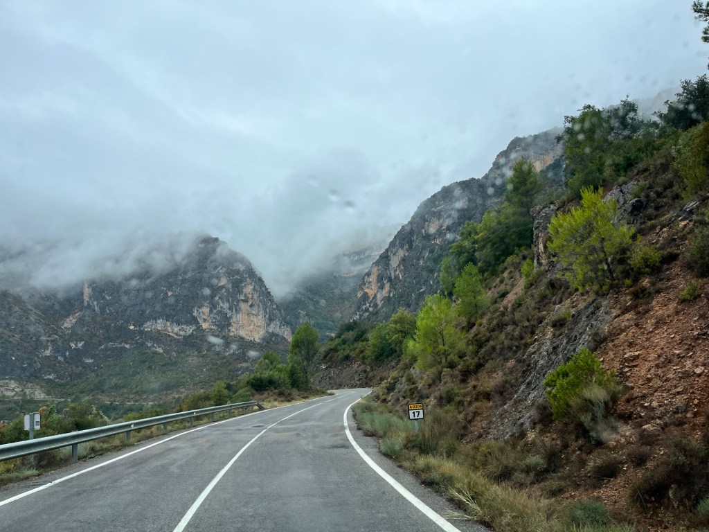
We’re in no rush when the weather is like this so we just hung around, put the heater on in the Van and hunkered down for the morning. Around midday, we decided to head off to our next destination and left the delightful Ecocamping Rurale Valle de la fueve and headed south down the A2206.
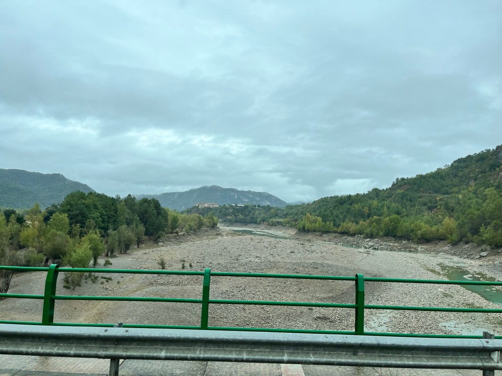
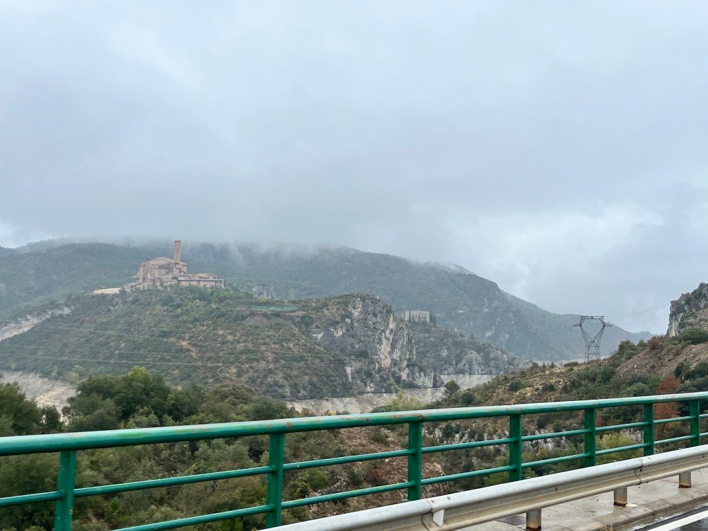
We couldn’t see much, the cloud so low. The mountains had morphed into substantial hills with deep ravines, tendrils of clouds drifting across them, making the whole scene very atmospheric. We went through one large village, all sandstone coloured buildings while other communities perched on the hills. We weaved down the valley passing woods and craggy rocks. It was beautiful even in the damp rain. Below us was the Embalse de El Grado 1, a huge reservoir and the biggest body of water we had seen since arriving in Spain, the rivers feeding it just mere trickles.
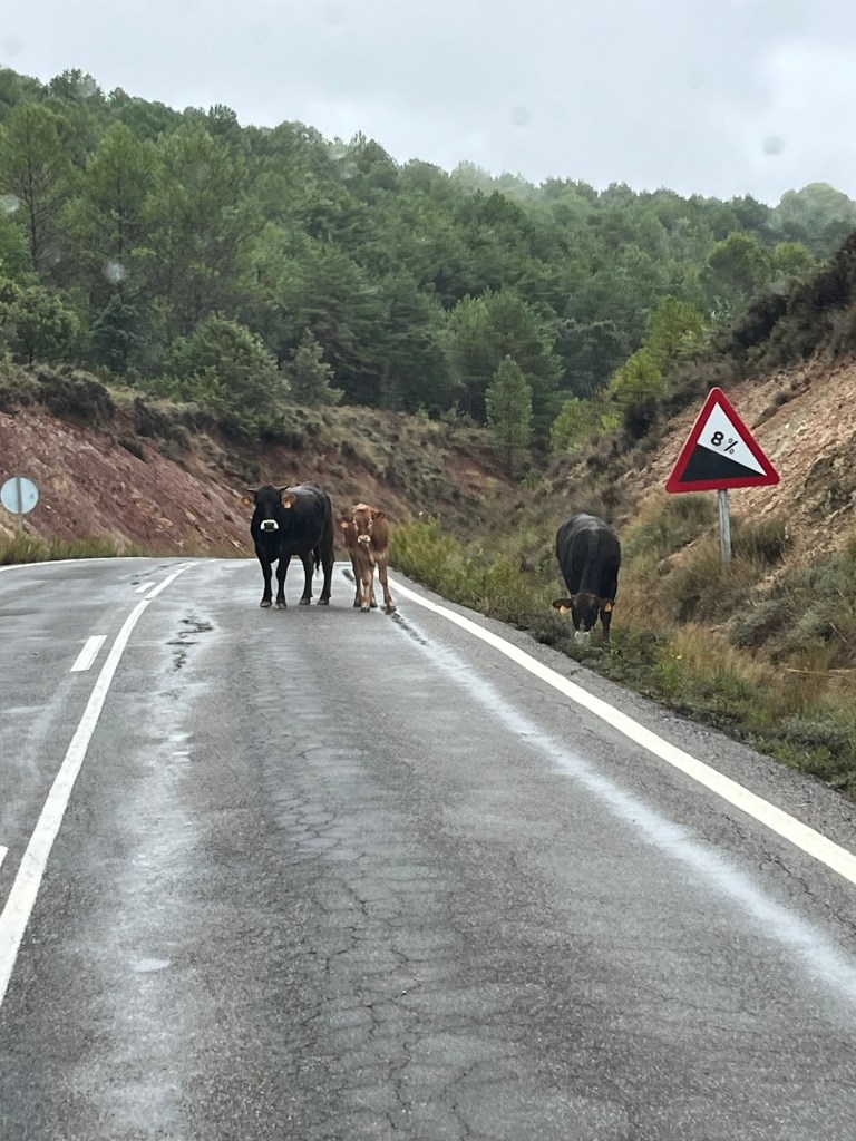
A oncoming car flashed us with his headlights and we wondered what for – a few more bends and we came across two cows and a calf straddling our side of the road. They weren’t for moving so we went around them as they watched us impassively.
The terrain started to flatten out – well, as far as we could tell – as we approached the sandstone town of Barbastro. The satnav took us towards the town centre and we hoped for a cafe bar for a coffee, but we knew it wasn’t going to happen. There were cars everywhere and nothing seemed open, so we abandoned the idea and picked up our route. The satnav fell back into their old habits, by taking us down a very narrow lane on the outskirts of town in order to pick up A1232 heading north (yes, we did a big U today in our travels) – we were not impressed.
The land, which was very dry matched the buildings – a yellow sandstone as we headed to Alquezar. It was a mixture of smallholdings, agriculture and wooded areas with stumpy trees. It was quite pretty with the hills returning. Autumn was really showing here with the leaves turning golden, contrasting against their green counterparts. We hadn’t driven very far, just over an hour as we pulled into Camping Alquezar and tried to check in – we had booked online the night before, but there had been no acknowledging email and now at the reception, they had no record of our booking. After a few minutes, they discovered it in the depths of their computer system and we were in. We found our pitch under some trees and parked the Van on the stony ground – with the rain, it was turning into a gloopy sandy mud that stuck to the soles of your shoes (it would be very dusty otherwise). We set up shop and made some lunch, the rain still steadily falling. The actual village of Alquezar was some 20 minutes walk up the road, but we didn’t really fancy it in the rain. The campsite had a little “supermarket” and opposite was a little restaurant so we wouldn’t go hungry.
We had brought about six flies with us from Ecocamping, who bothered us all afternoon despite our best efforts to evict them. The rain fell steadily and we just relaxed in the Van (I relaxed so much that I had an afternoon nap). We took Pup on a couple of circuits of the campsite and then nipped to the little shop for goodies before settling down to watch a film with nibbles and wine. It was probably the slowest and most uneventful day of our whole trip.
Tomorrow it’s not really going to improve, but we want to walk up to Alquezar and check that out, even if it’s just stretching our legs. This weather is just a blip hopefully and warmer weather is due to return!
The early morning sunlight was hitting the peaks of distant mountains, making them glow as we rose this morning and we sat outside, albeit very cool, watching the sun gradually rise and warming the craggy rocks. It was quite spectacular and splendid way to welcome the day.
I waddled over to the restaurant to collect our ordered breakfast of croissants, pain au chocolate and a baguette, checking on the facilities on the way through (very good), tried to help a lady start the washing machine (called Carlos the owner to help), made a fuss of the cat (Hubby had spent some time with the cat on his lap earlier on) and went inside to pick up breakfast. I got chatting to Carlos who told me that it was 13 degrees outside which was 5 degrees higher than normal for this time of year. The summer, he told me, was 10 degrees higher, and they had no rain for 90 days. He showed me photos on his computer of dead grass, the whole campsite yellow and dry except the trees. With recent rains, the grass was regrowing and things were returning to normal, but it was quite worrying.
We ate breakfast and played ball with the Pup. Two little German girls opposite came over with their mum as they wanted to pat the Pup and we had a lovely half hour of chatting and the girls throwing the ball until the Pup got bored and went inside. The sun disappeared behind encroaching cloud.
We relaxed for a while and then decided to go to the town of Ainsa, some 17 kms away, which we passed through yesterday. It had an older part of town perched on an outcrop, so we would investigate and have a spot of lunch.
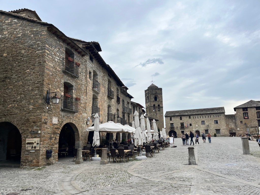
We drove through a dry and semi arid landscape, the wide rivers almost devoid of water, a little trickle running through the boulders and rocks of the river bed. We arrived in Ainsa, split in two by the Rio Cinca – on one side, a modern, mainly residential area while on the other, the business and tourist centre. We drove up to the old quarter and parked in the ample car park right behind it. After struggling with the parking meter which refused to convert to English and was so convoluted that the kindly Spanish chap behind me even scratched his head, we wandered into the medieval town. We had a quick walk up to the ramparts for a view of the surrounding countryside and then into the town itself – opening up into a square with restaurants and hotels along the edge. The sky had darkened somewhat and we felt spots of rain. We stopped at one of the eateries and had lunch and a glass of wine, did some people watching and hoped it wouldn’t rain heavy. The smart chic looking people of Northern France had been replaced by people wearing more practical and comfy clothing and the Spanish seemed to make more fuss of the dogs.
We strolled around the two main lanes of the citadel, popping down side alleys that offered panoramic views before coming out of the town where the road started to plummet down to the modern shopping area. Not fancying walking all the way down (and having to come all the way back), we knew the shops would probably be shut for the afternoon. So we turned tail and walked back through the streets and back to the car park. There seemed to be a lot cyclists coming through, mainly mountain bikes with chunky tyres, their riders in protective clothing and full biking helmets – it was certainly the terrain for that sort of biking. We got stopped by a Belgium couple asking if our Pup was a Vizla and we ended up chatting with them about all sorts including their thoughts about Britain before a visit to Scotland completely changed their mind. They were thinking of visiting again, so we heavily promoted the North of England. They were a lovely couple, who spoke great English – we parted company as time was ticking on and they wanted to visit the town and our time was running out in the car park.
We drove back just as the sun was breaking the monopoly of cloud and by the time we got back to the campsite, it was warm and sunny, though a stream of cloud hung across the upper quarter of the mountains in front of us. Forecast was for rain later this evening and probably for the next two days – a bit of hunkering down was on the cards.
We decided to wander back to the campsite’s little restaurant at teatime and get a pizza (we had seen them last night and they looked delicious). We had met a couple earlier in Ainsa’s old town car park while sorting out the parking ticket and we recommended our campsite, and so we found them at a table, supping beers with their elderly collie. We joined them, ending up with us all ordering a pizza and more beers, chatting well into the evening – it was nice to chat with your own countrymen sometimes and it was an enjoyable evening. We finally wandered back to our respective Vans and hit the sack.
Tomorrow we’re moving on further south and see how the weather goes. We could have a couple of days of rain, our first real bad weather.
We were woken by cow bells as a herd of bovines shuffled past, their bells ringing under their chins. It was a very nice wake up call.
It was very cold this morning, but a beautiful blue sky. We decided that we wouldn’t dash off and hit the road straightaway – instead we had showers and I did the weekly laundry run (though the dryer was a bit rubbish as our clothes came out a bit damp despite 45 minutes on a hot run). The Van looked like Widow Twanky’s.
So we sat outside, reading and enjoying the heat now the sun had popped out from behind a mountain. Cows caused a mini traffic jam on the main road and a mobile patisserie van turned up and we stocked up with bread products and had elevenses.
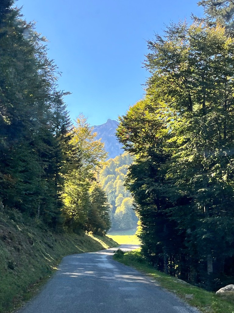
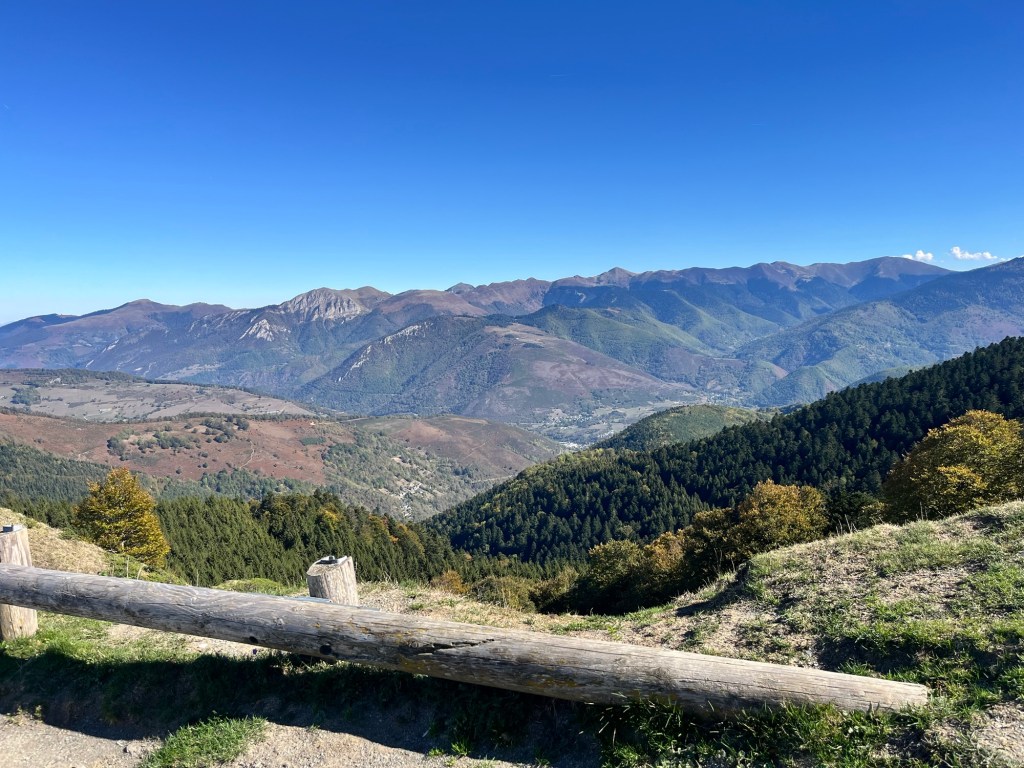
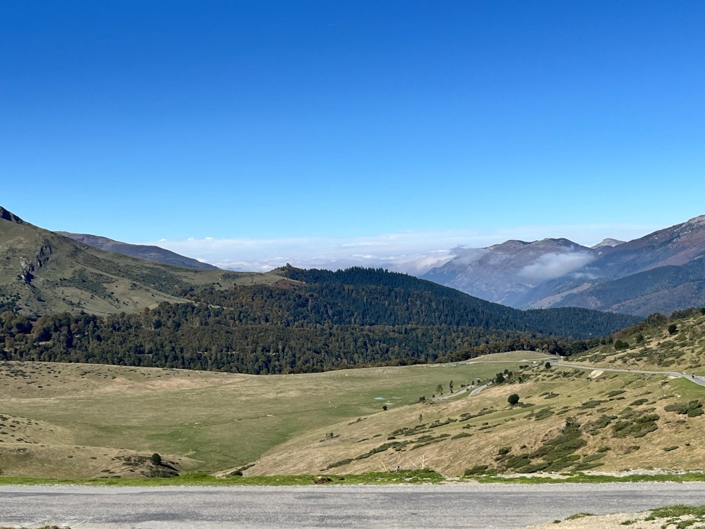
We left Camping IV Veziaux about 12:30 and followed a back road that took us up the Hourquette d’Ancizan pass, climbing up through green pastures and trees showing their autumnal colours. It was breathtaking. We reached the pass with far reaching views across far flung mountain ranges and peaks, a blanket of cloud starting to seep up the valleys. A few hardy cyclists joined us, alongside a few cars parked in row – it looked like people could hike from here and head up further.
The road to Hoursquette d’AncizanHoursquette d’Ancizan
We dropped down the other side, the road hugging the rocky side while on the other, tall deciduous trees hid the almost vertical drop, the road just about wide enough for two vehicles – it was much more scarier further down where the trees thinned out and you could actually see the bottom.
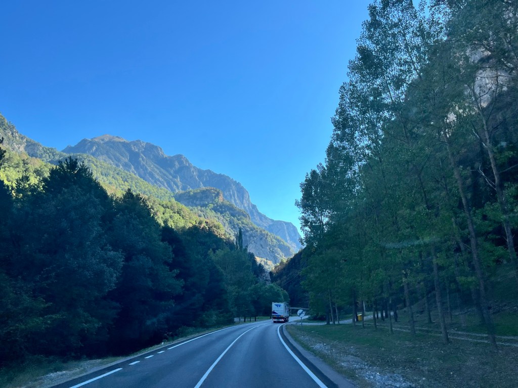
We hit the valley bottom at Guchen and followed the valley floor, gently rising through ski resort towns and villages. It was a classic V shaped valley with mountains looming over us. We picked up a Portuguese truck and was happy to sit behind him as we negotiated hairpin bends and tight curves – he knew this road and he was bigger than us. Even more startling was that cars were overtaking us and the lorry – we weren’t exactly glacial – and we hoped that nobody came the other way. The scenery was unbelievable – actually there’s not enough superlatives to describe the beauty and magnificence of this area. My many photos that I had taken, just didn’t capture the staggering scenery. You just have to be here.
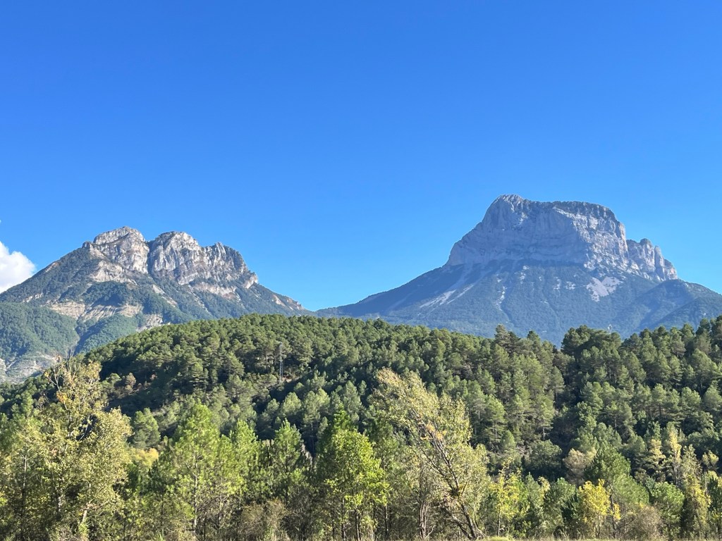
We ended up at the Aragnouet- Bielsa tunnel, a two mile bore through the mountains which joins France and Spain. We had to wait about ten minutes as it seemed to have an one way system in operation, but we followed our lorry friend and popped out in Spain. A new country! A new language! The mountains here were even more fabulous as we dropped down a narrow valley. Gradually, the mountains gave way to hills which were still tall and magnificent, but the Pyrenees weren’t quite finished yet – we rounded a corner to be faced a vast craggy outcrop of rock, reminiscent of Devils Tower from the film, Close Encounters of the Third World.
The Spanish side of the tunnel
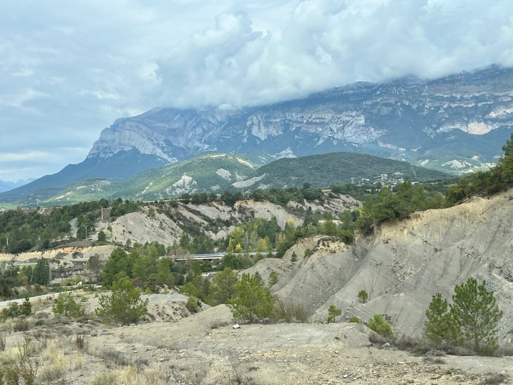
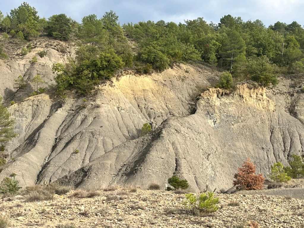
We found our campsite, again in the middle of nowhere, the Ecocamping rurale Valle de la fueva, sitting on a plateau overlooking the craggy heights. It was like a geology lesson with all the different layers of rock, showing their formation over thousands of years of upheaval. We sat outside, the sun so strong that we sought shade. We met another British couple with a dog and while the humans chatted and exchanged information, the two dogs chased and played with each other. The Pup needed to burn off some energy.
Our campsite – not a bad view!
We chilled and then wandered to the campsite’s little restaurant where we enjoyed paella outside as the sun settled behind the hills. The campsite’s resident cat kept wandering past which got Pup excited, but after a couple of passes, Pup ignored it completely. Darkness fell as we finished our meal which was fabulous and we wandered back to the Van to relax before bedtime. This was a lovely little campsite, maybe the best one so far.